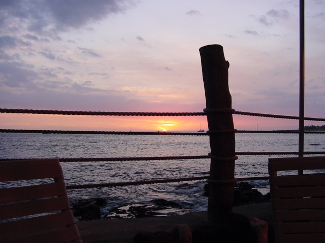
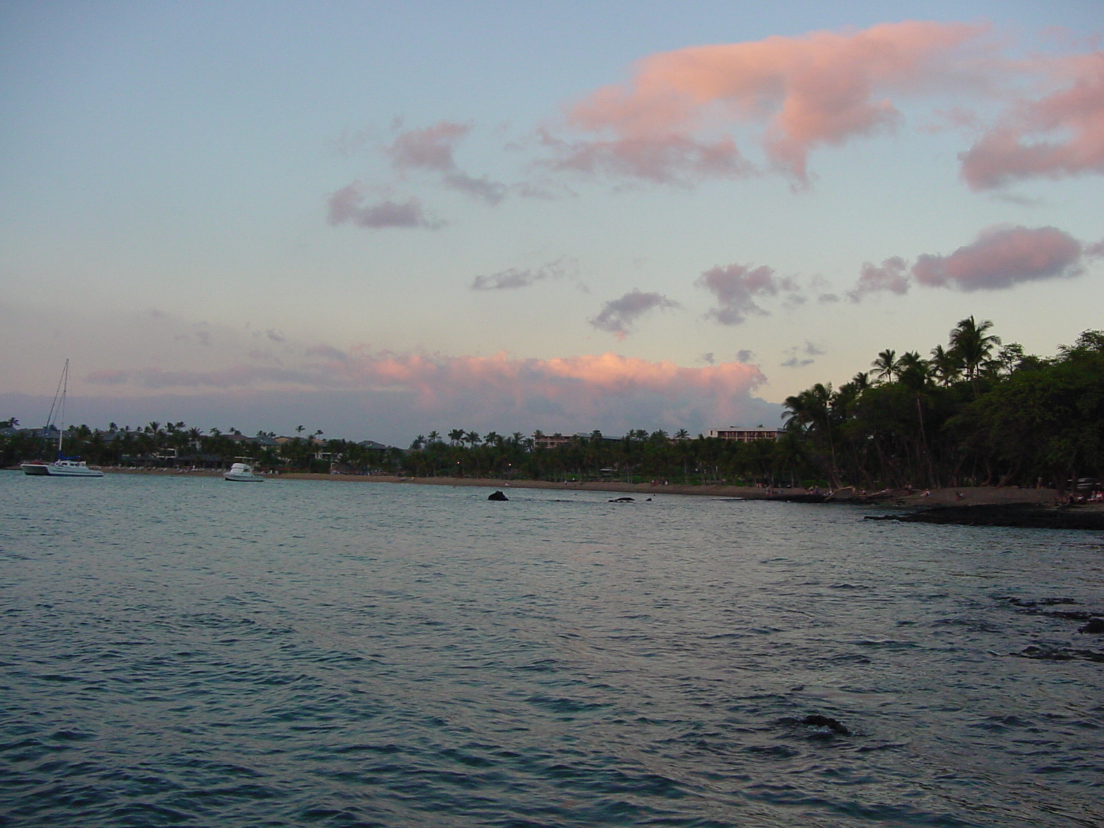
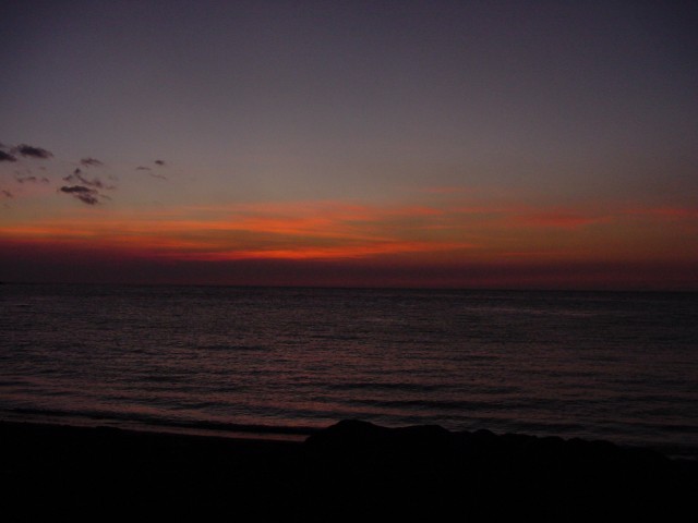
Nice sunset from Huggo's
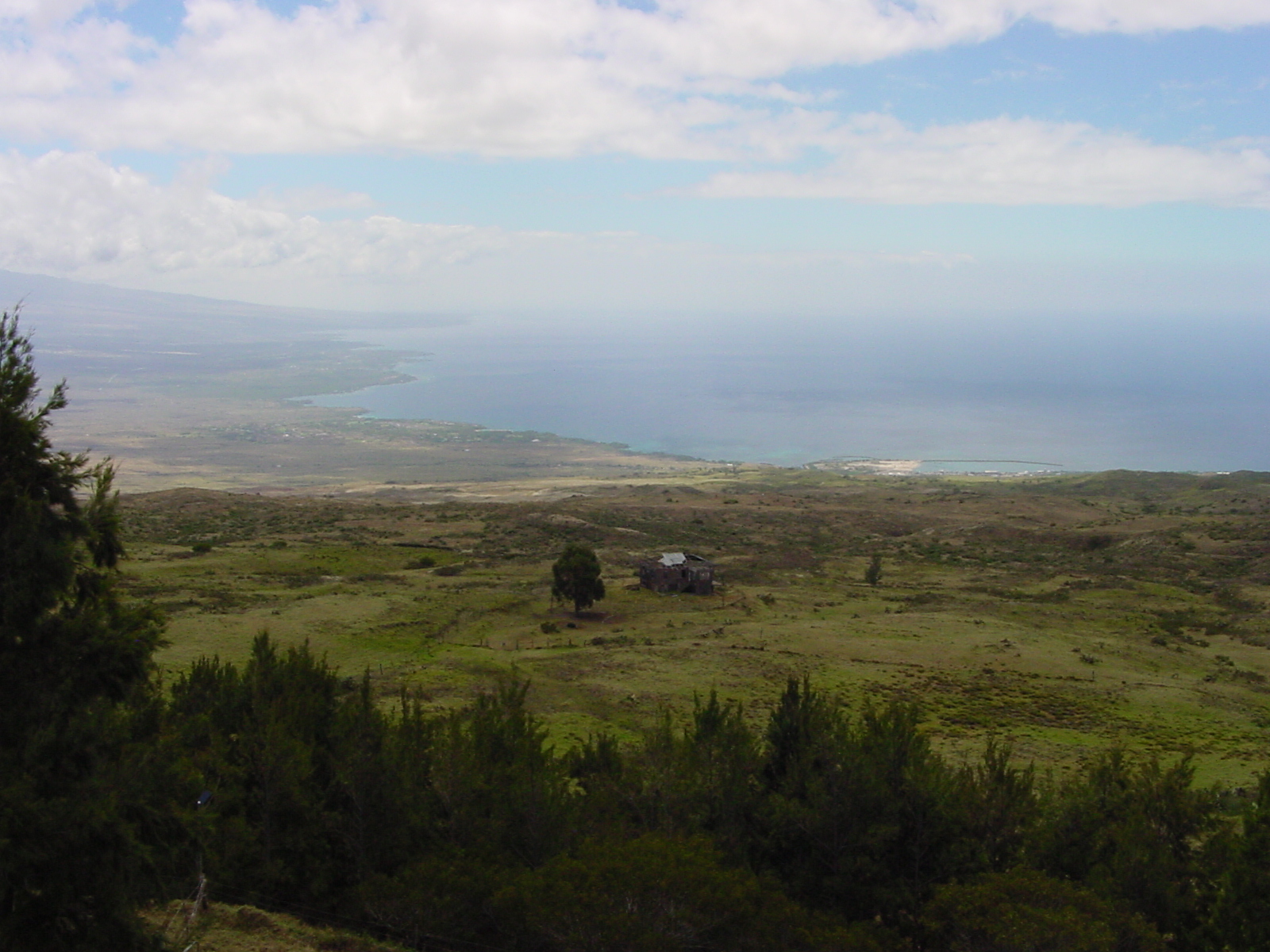
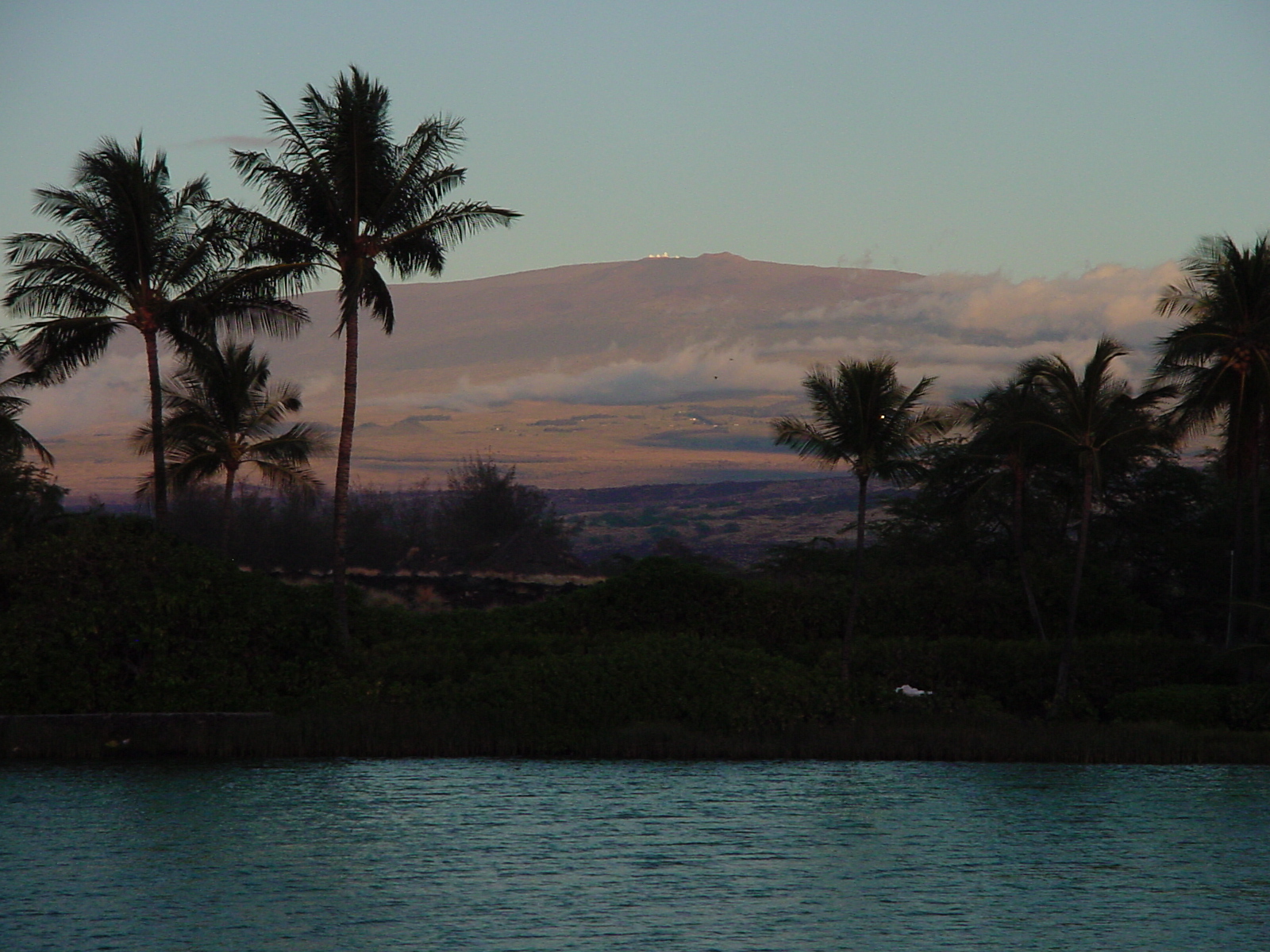
A picture of the Kohala coast from the road that runs north of Waimea
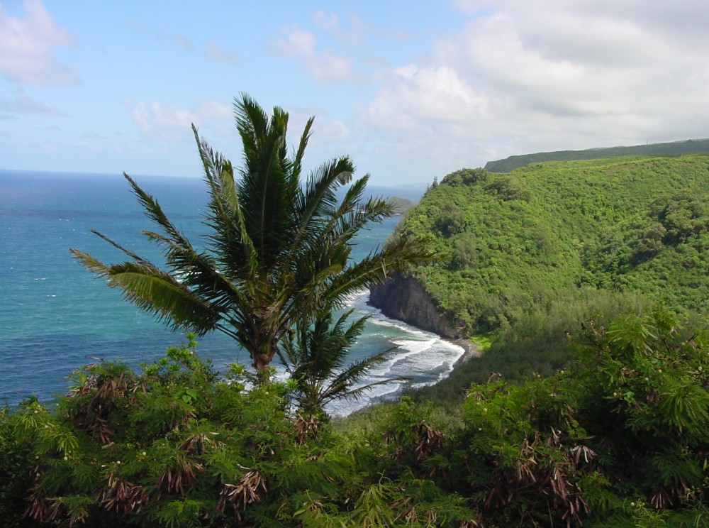
Pololu valley overlook
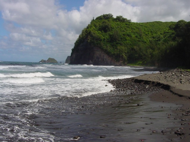
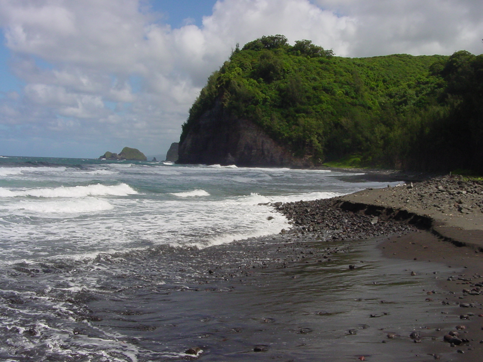
The beach after you hike down into the Pololu valley
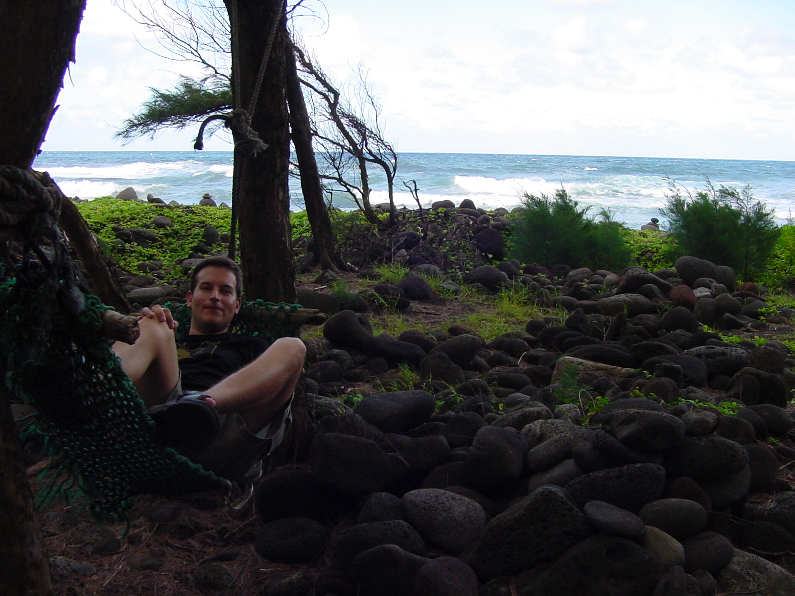
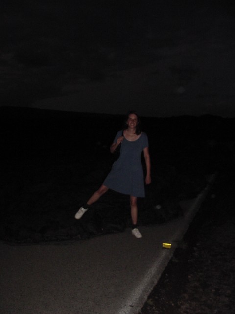
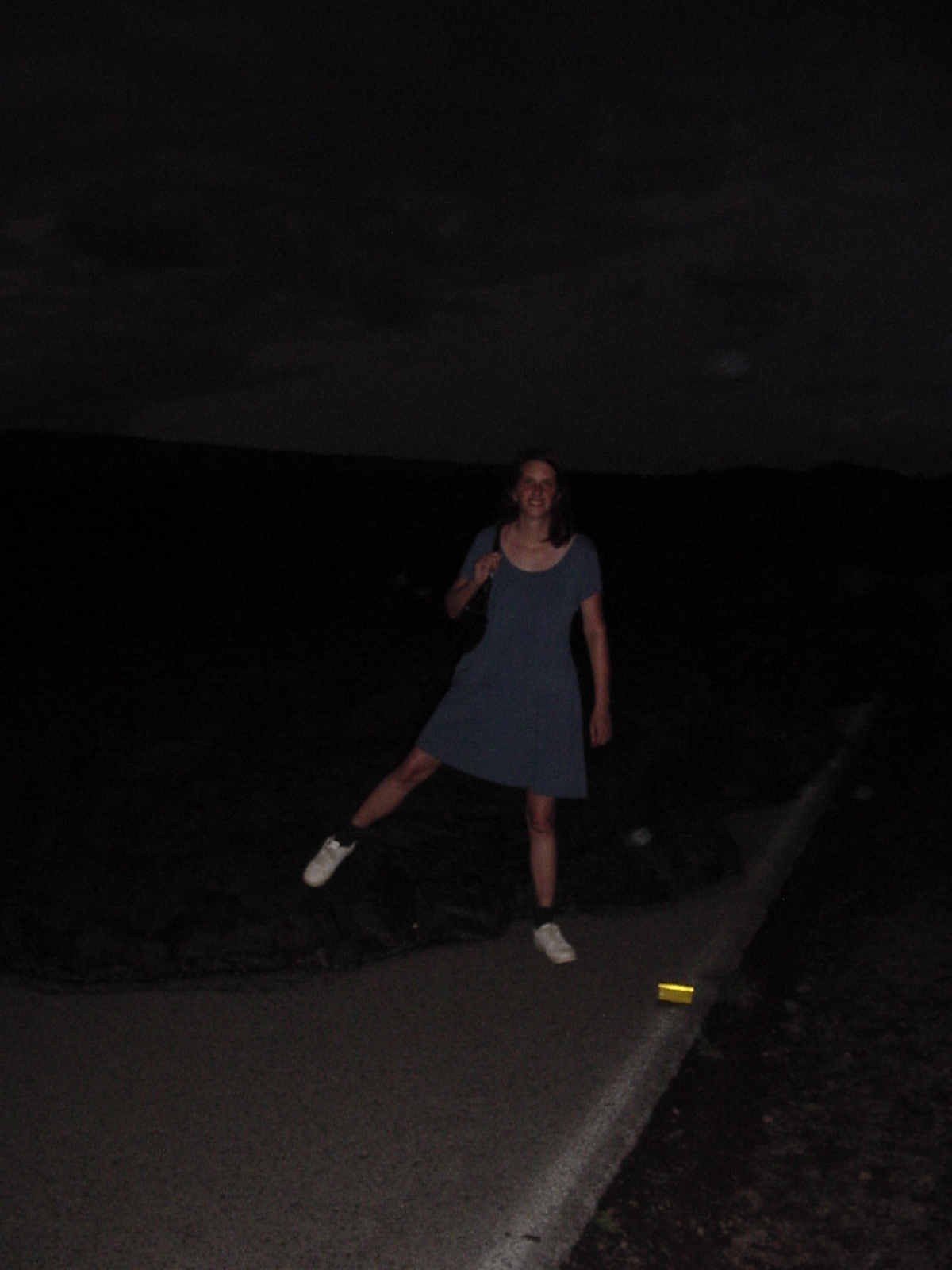
Resting at a campsite in the Pololu valley
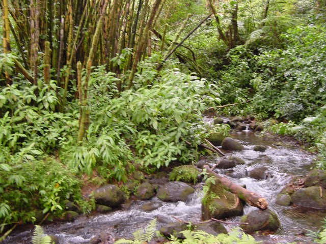
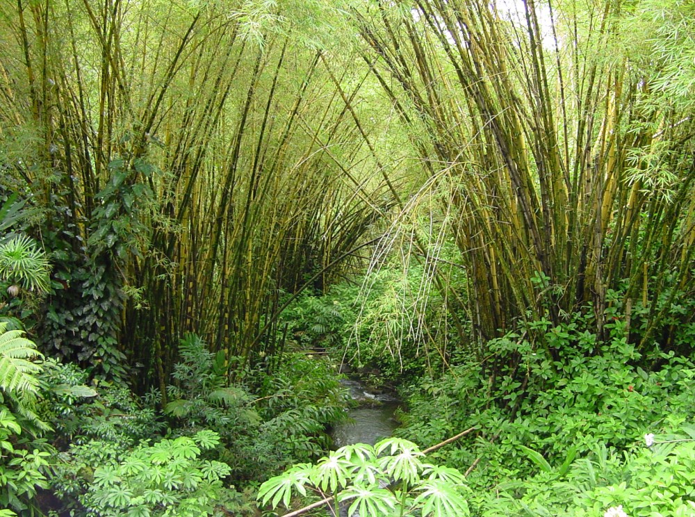
Bamboo at Akaka Falls park
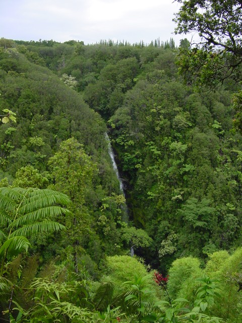
Kahuna Falls, at A.F. park
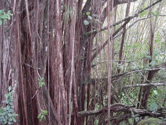
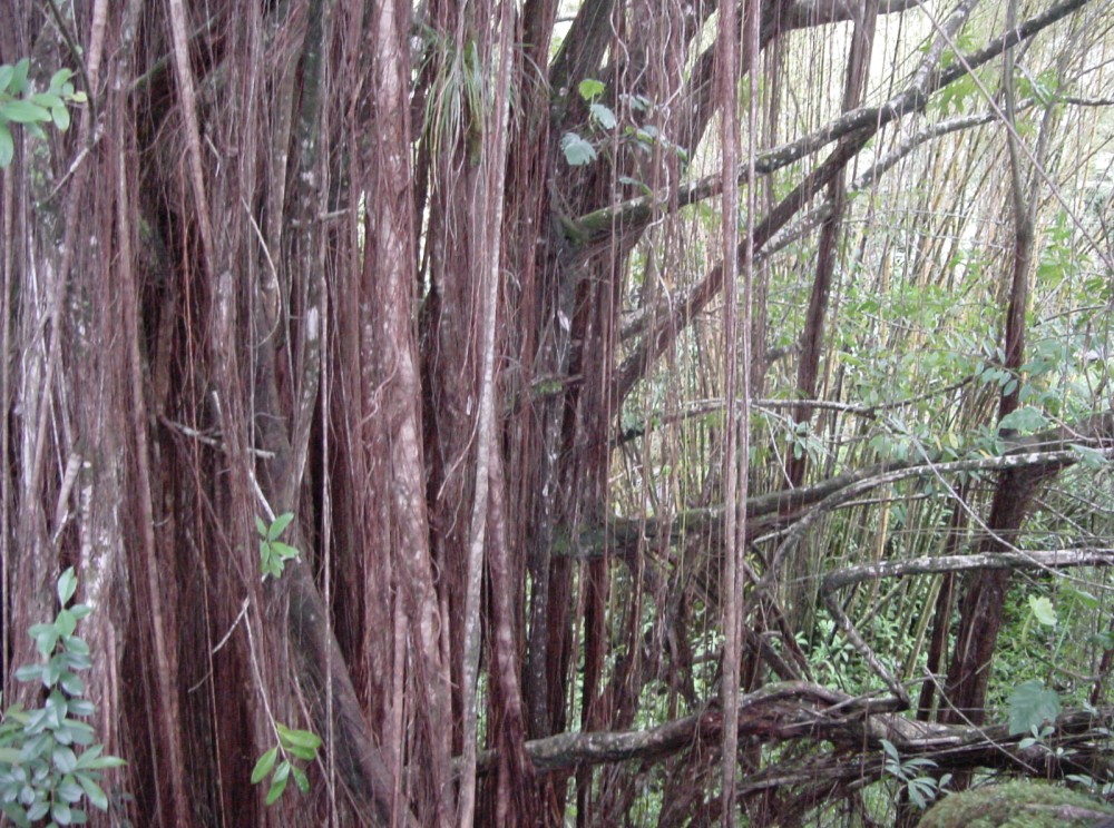
Interesting tree at A.F. park
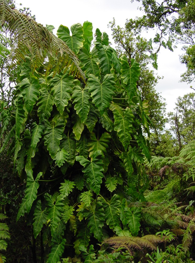
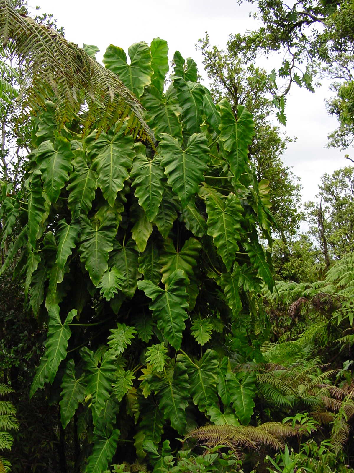
Interesting vine growing at A.F. park
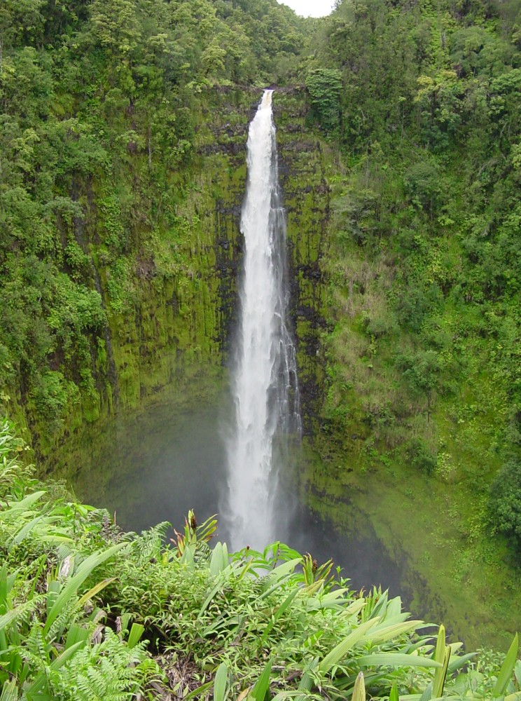
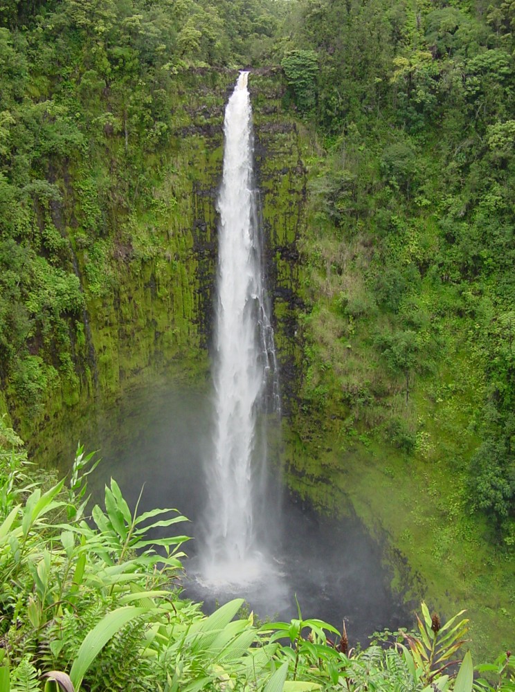
Akaka Falls
another shot
More of A.F. park
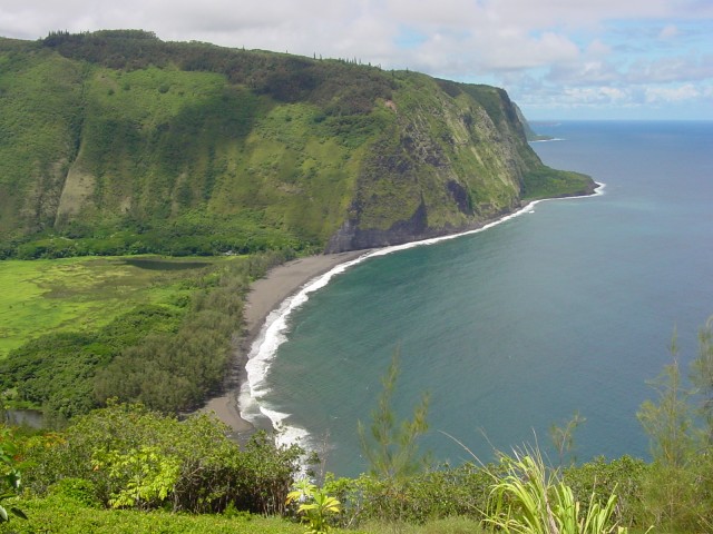
Waipio Valley overlook
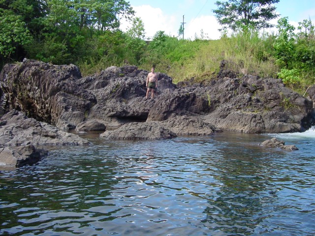
Swimming by some waterfalls at Rainbow Falls near Hilo. I'm standing
on an island in the middle of a river, with falls about 100m upstream
and downstream.
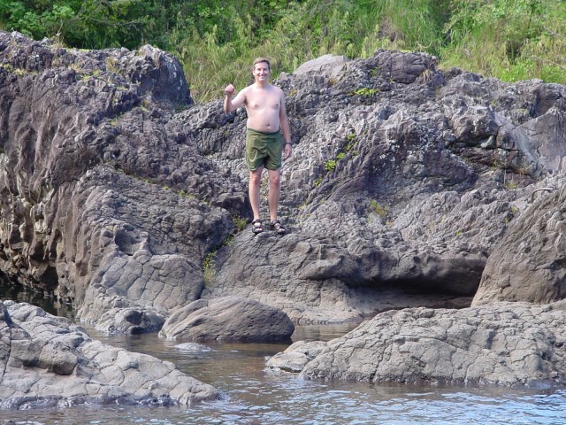
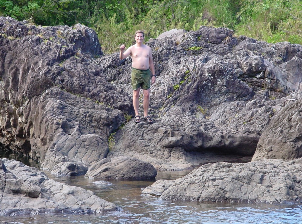
More of the same
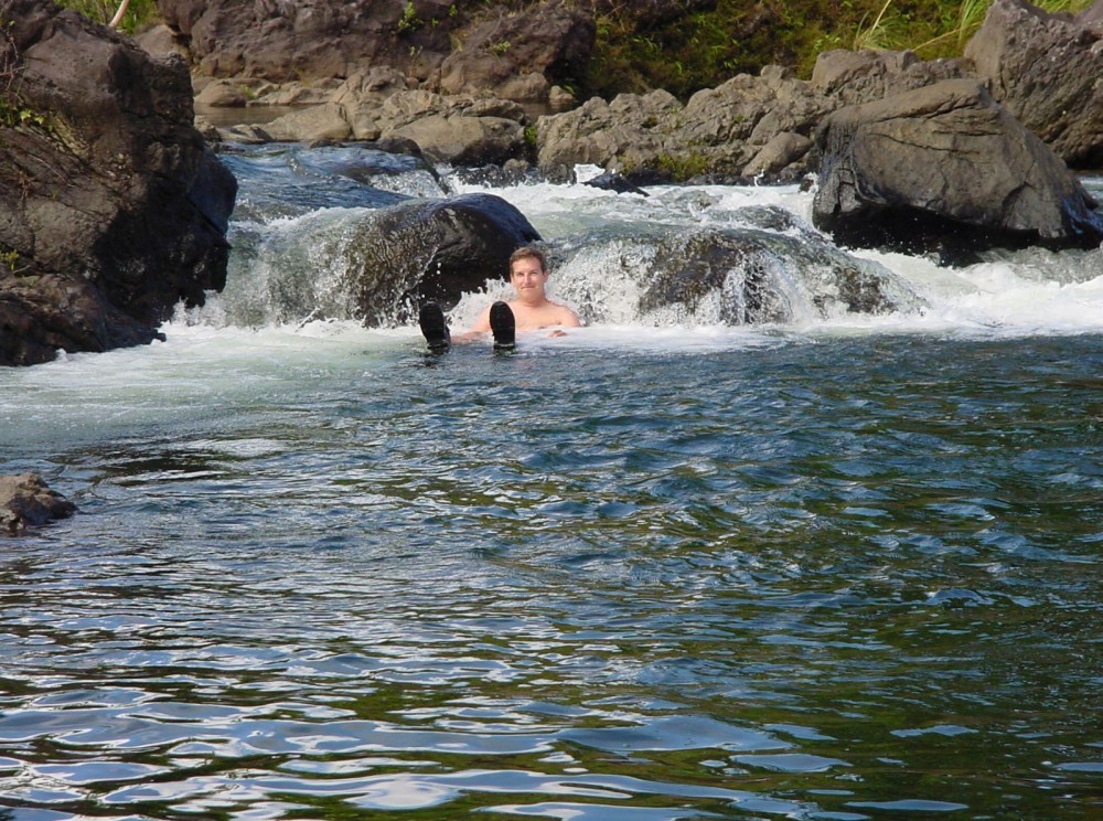
Sitting under some rapids in the river
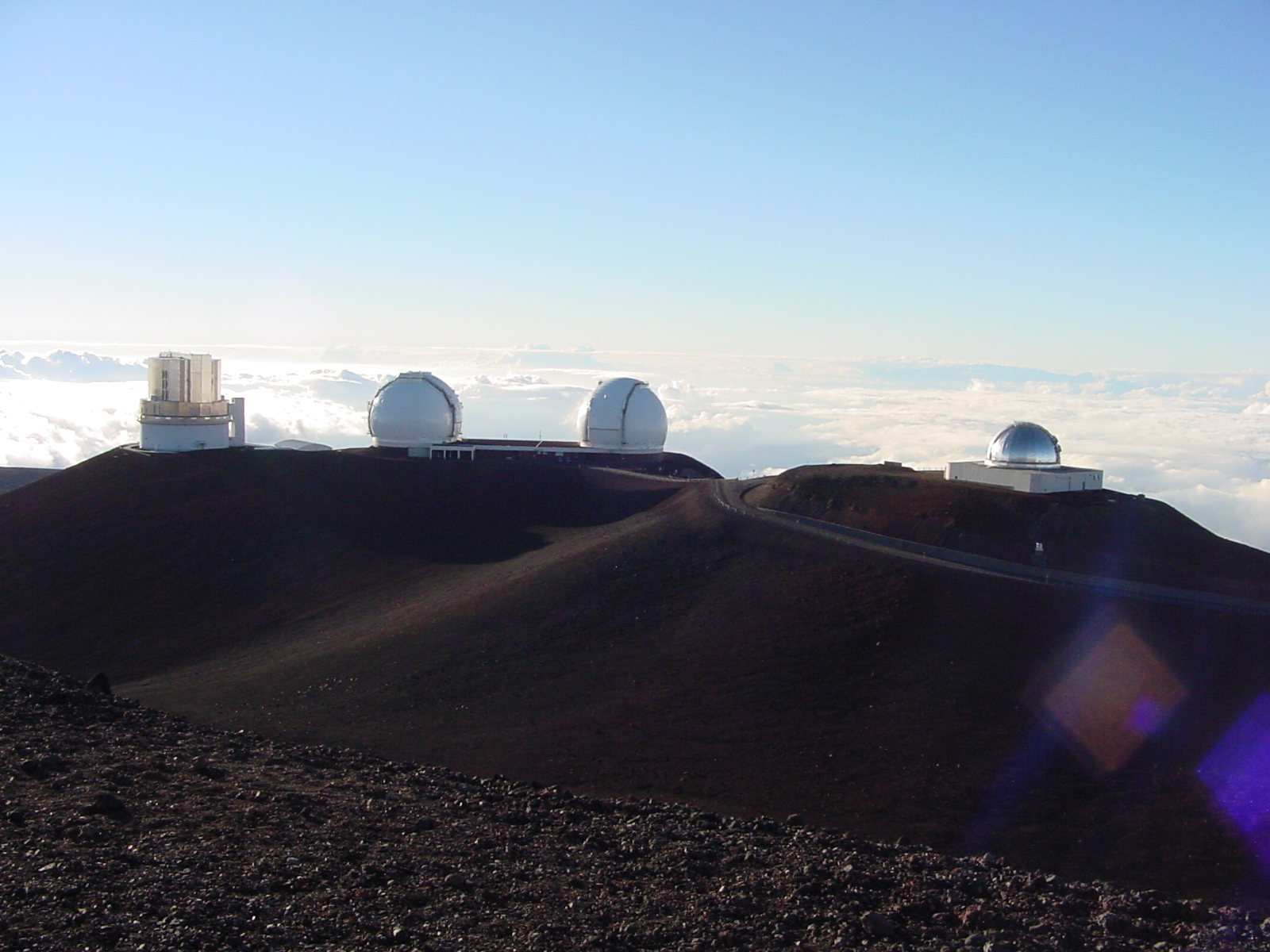
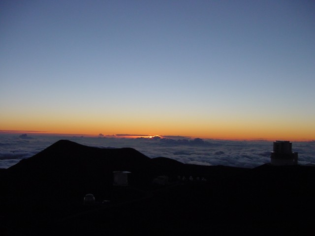
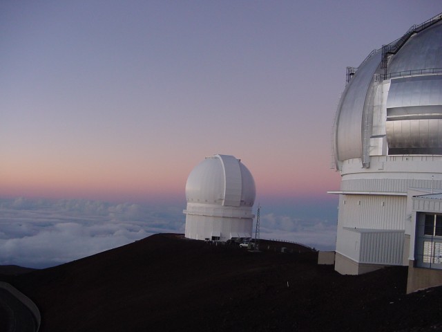
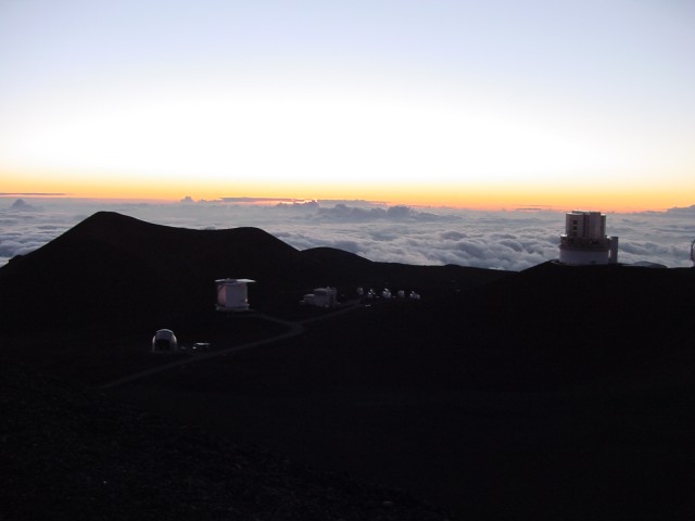
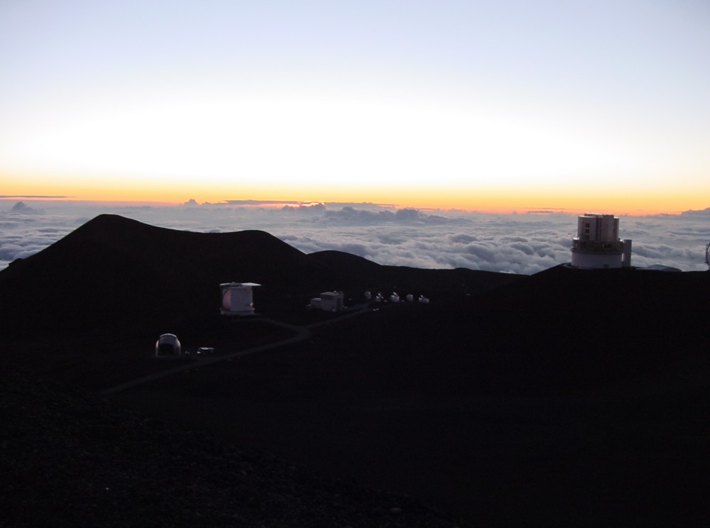
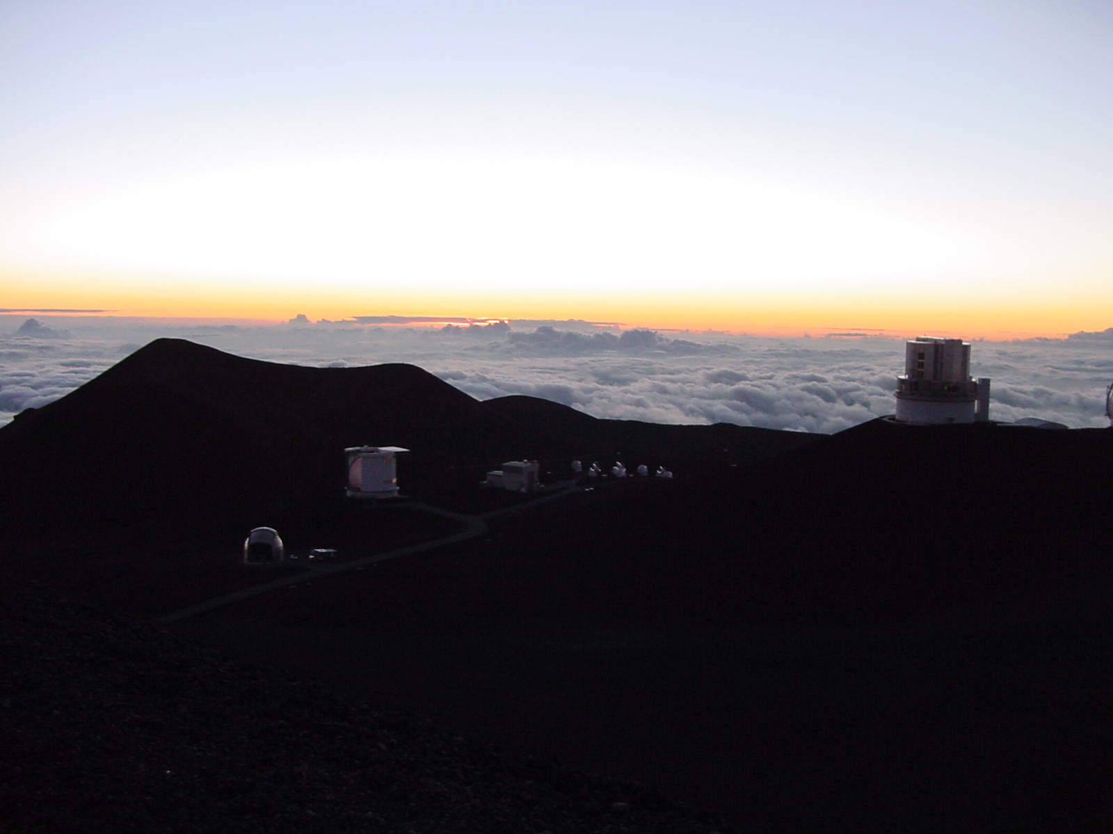
Observatories on top of Mauna Kea. You supposedly need a 4WD to get up here, but I could have made it easily in my Honda. We rented a 4WD for this trip, but next time I will probably just ignore my rental car agreement and take the rental car up here.
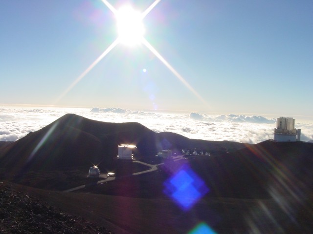
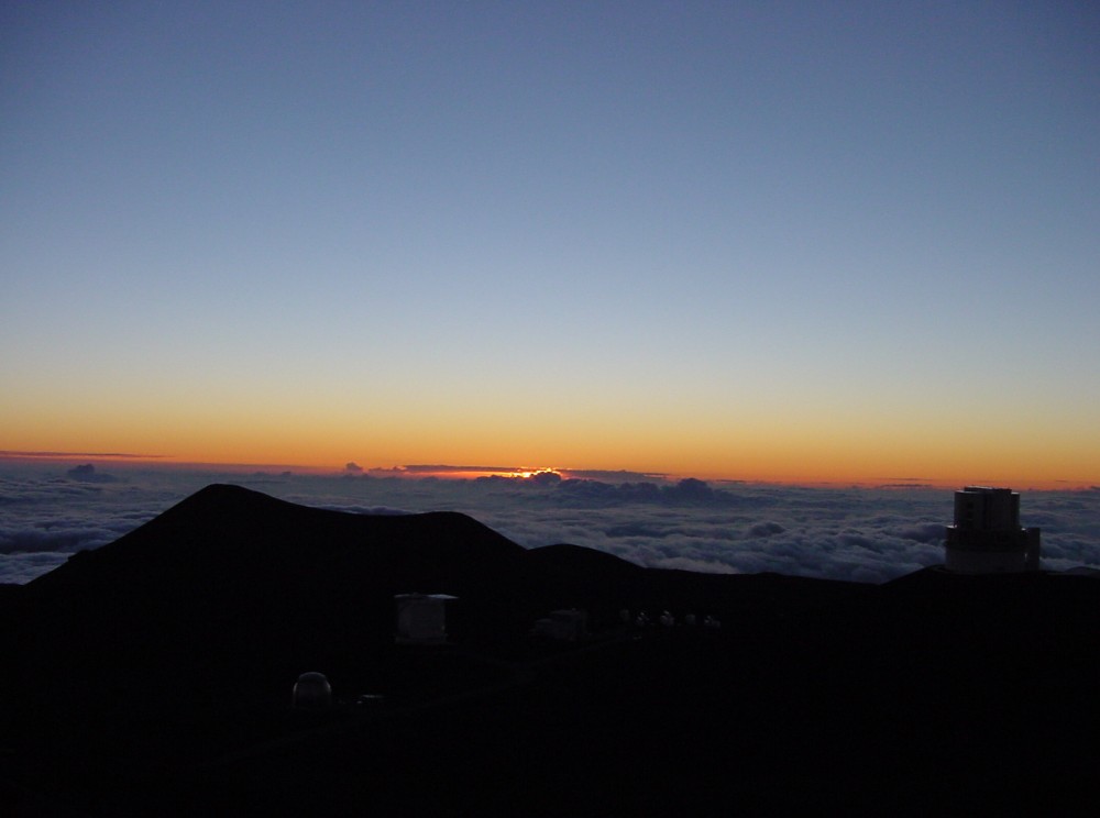
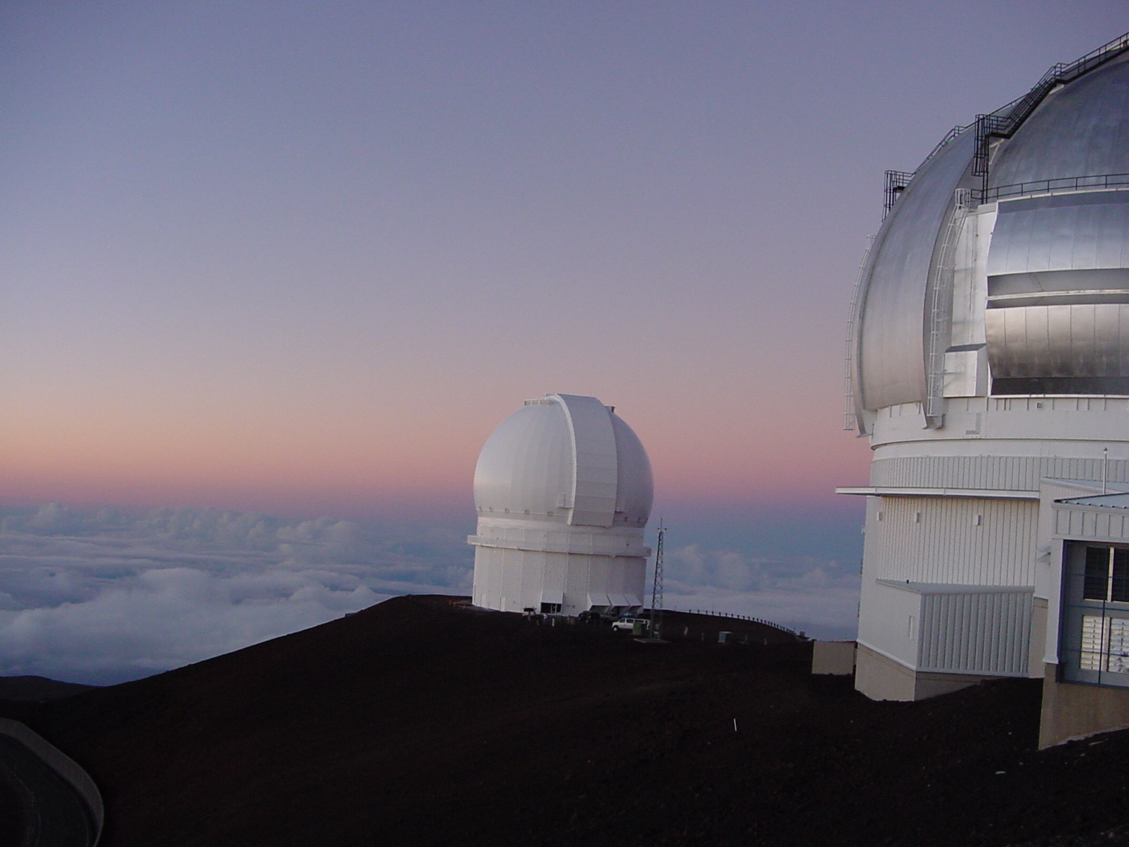
more
more
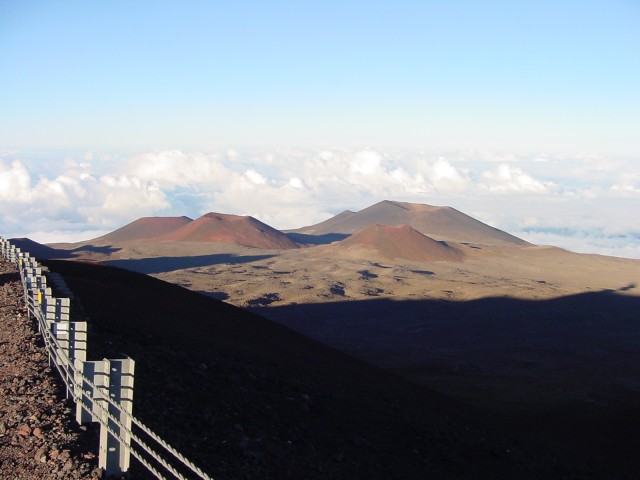
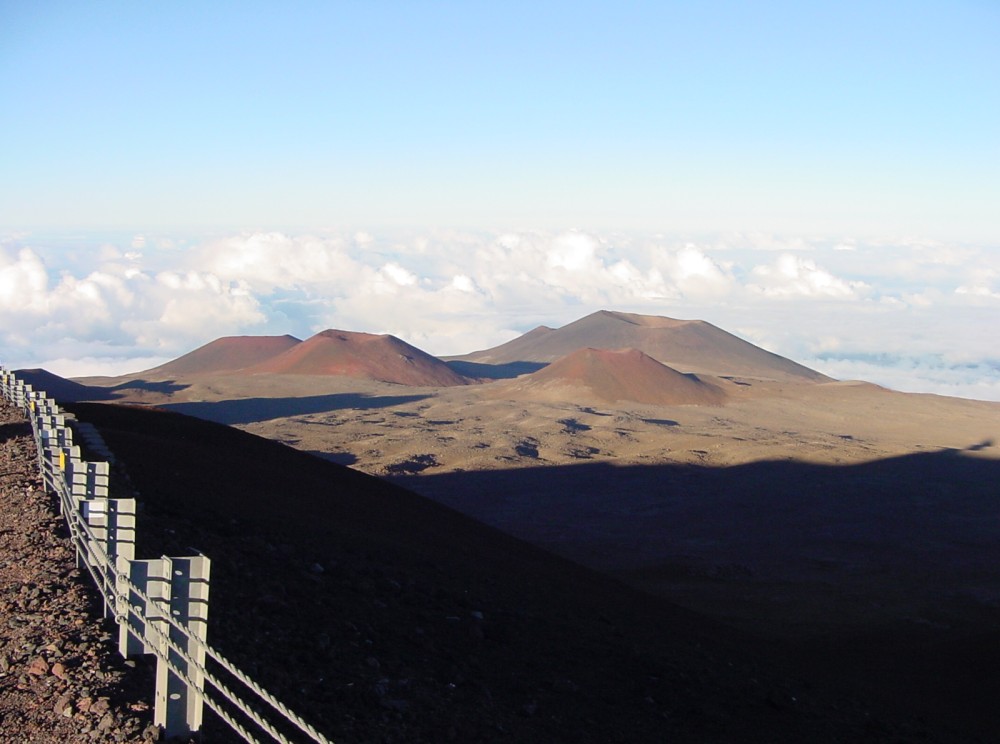
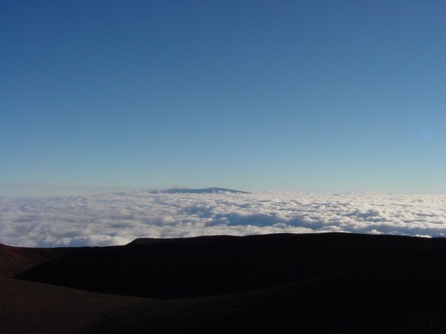
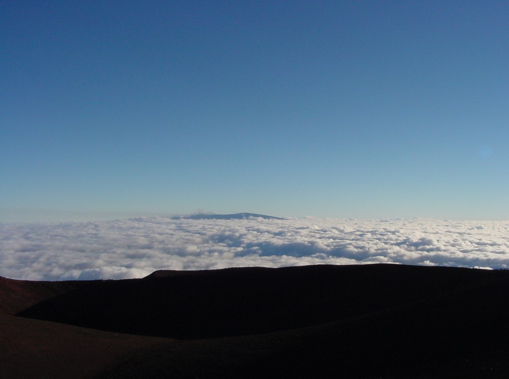
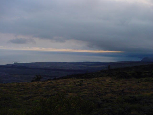
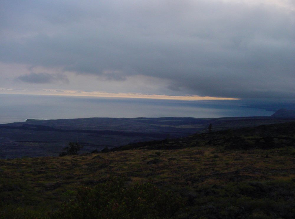
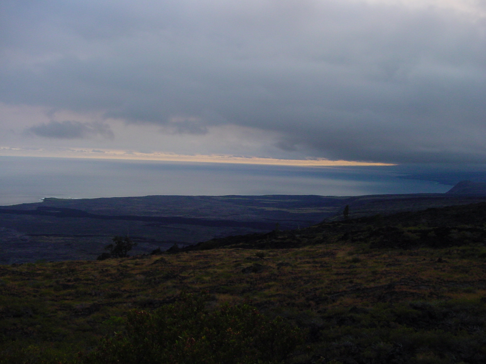
Mauna Loa, from Mauna Kea
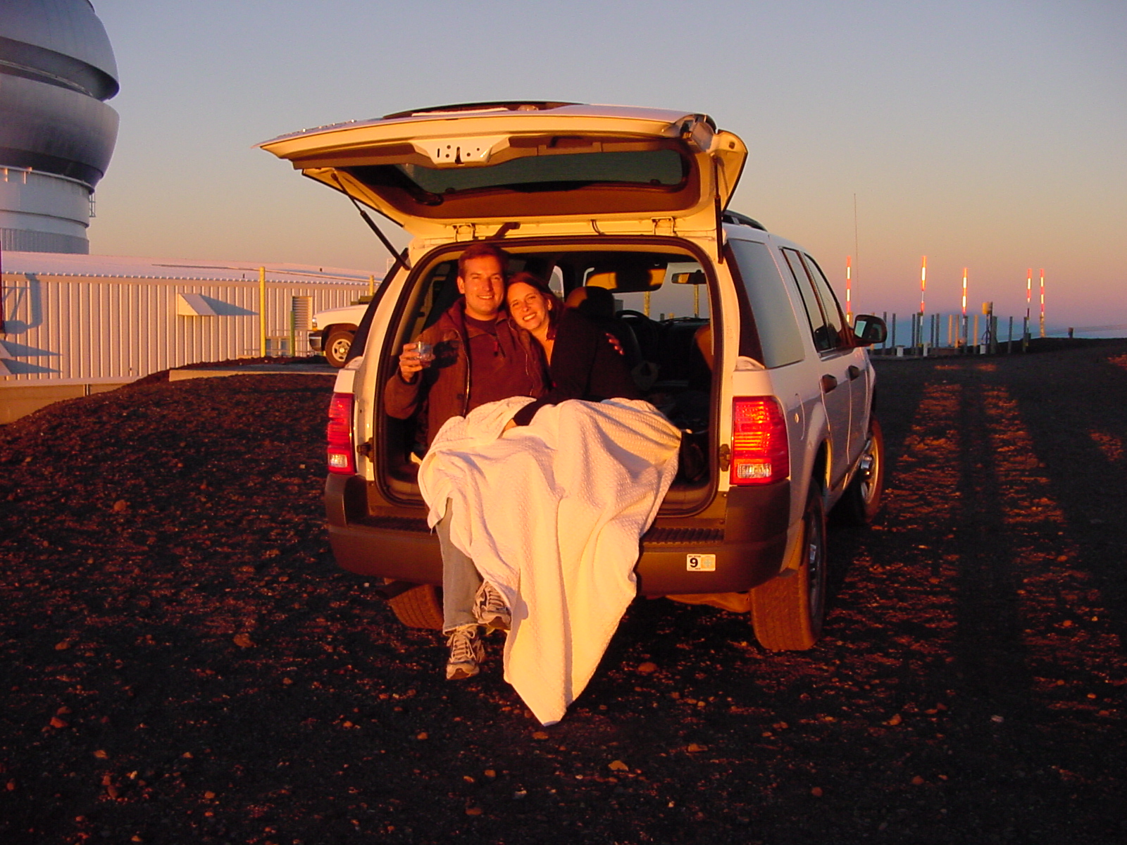
Us enjoying Laphroaig in back of 4WD
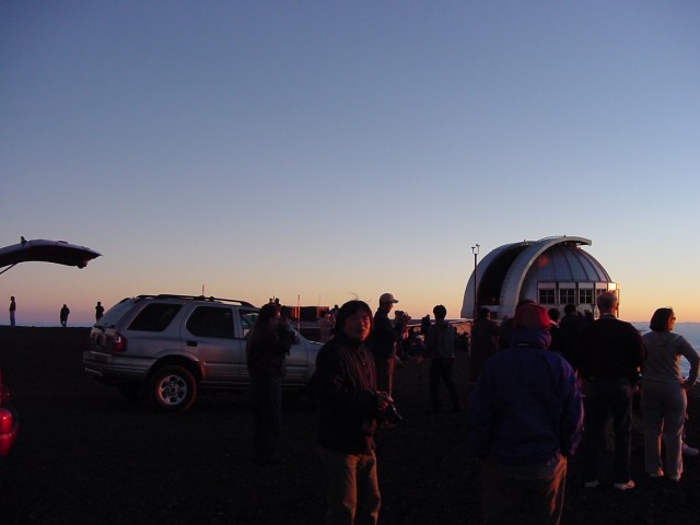
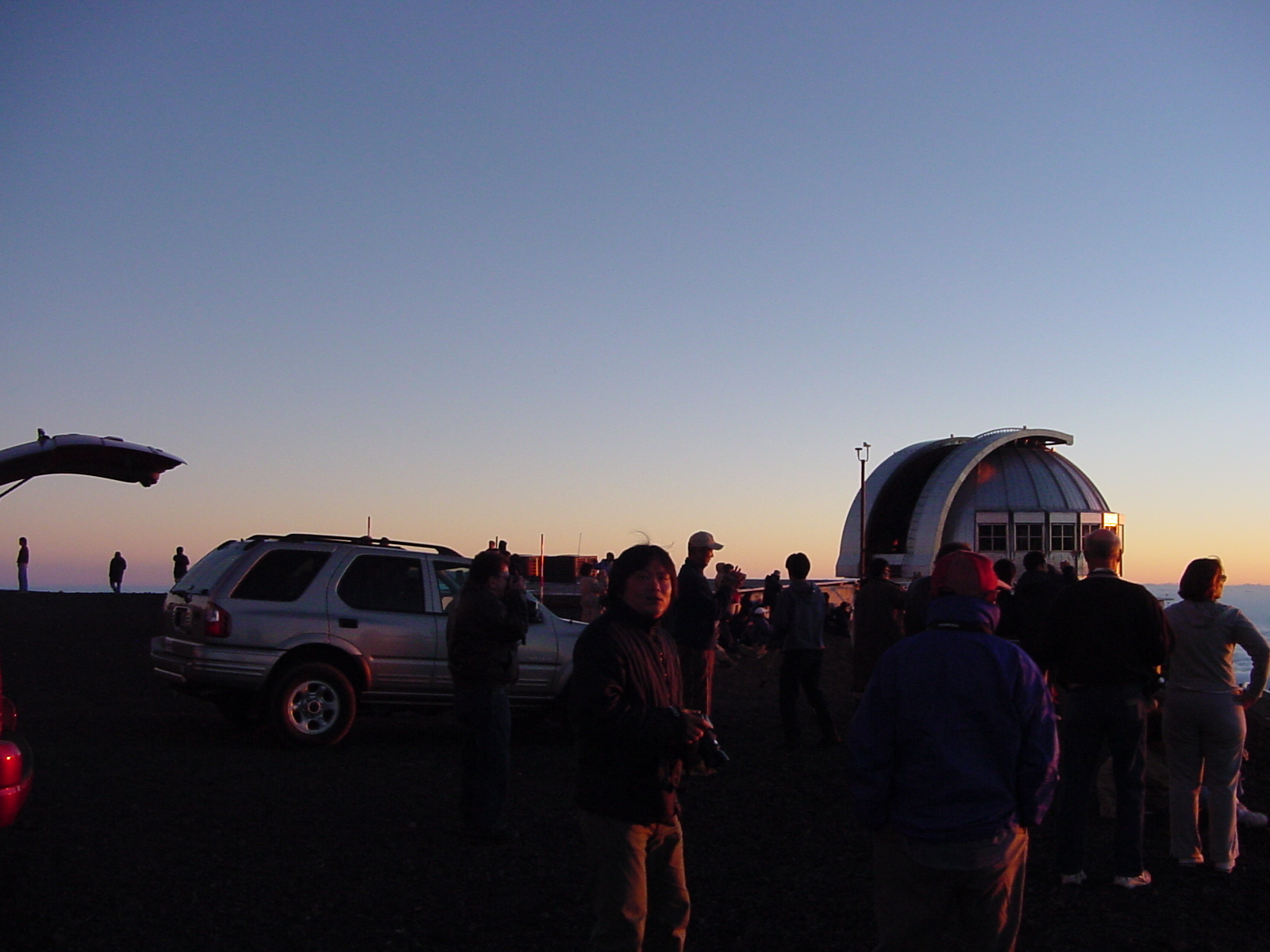
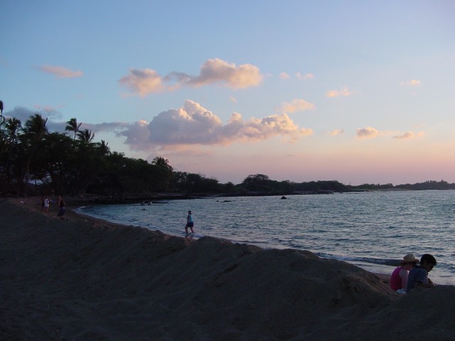
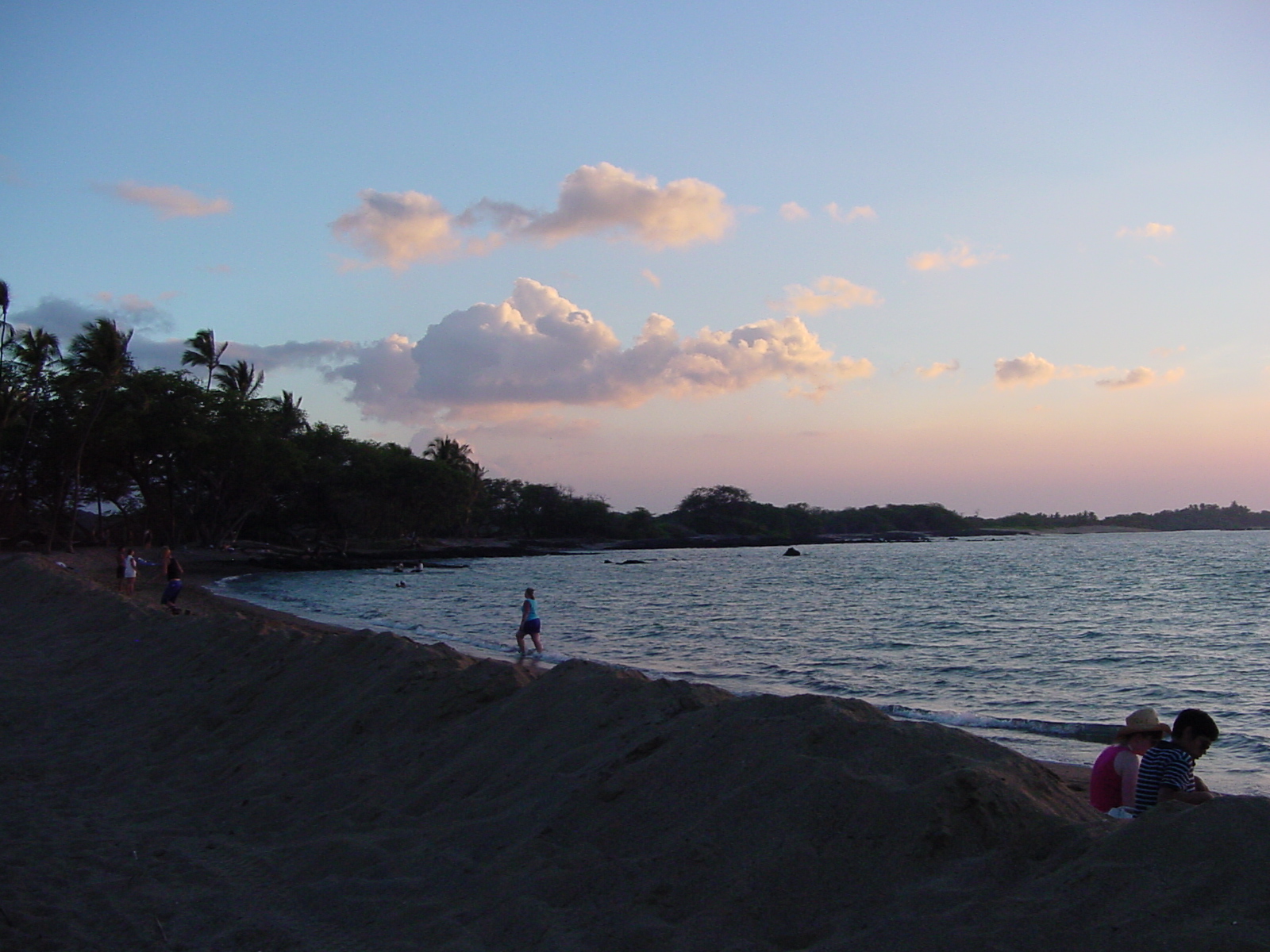
Crowd watching sunset
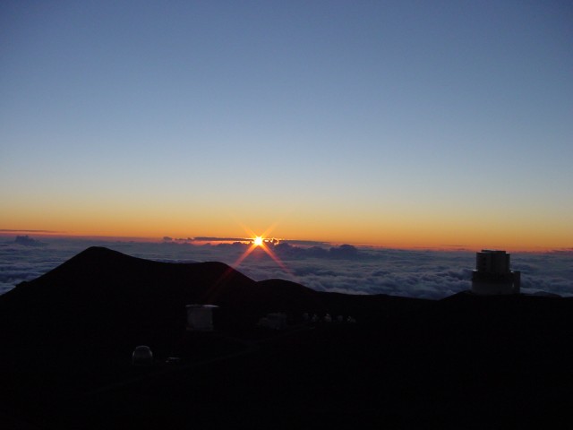
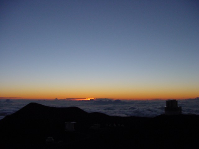
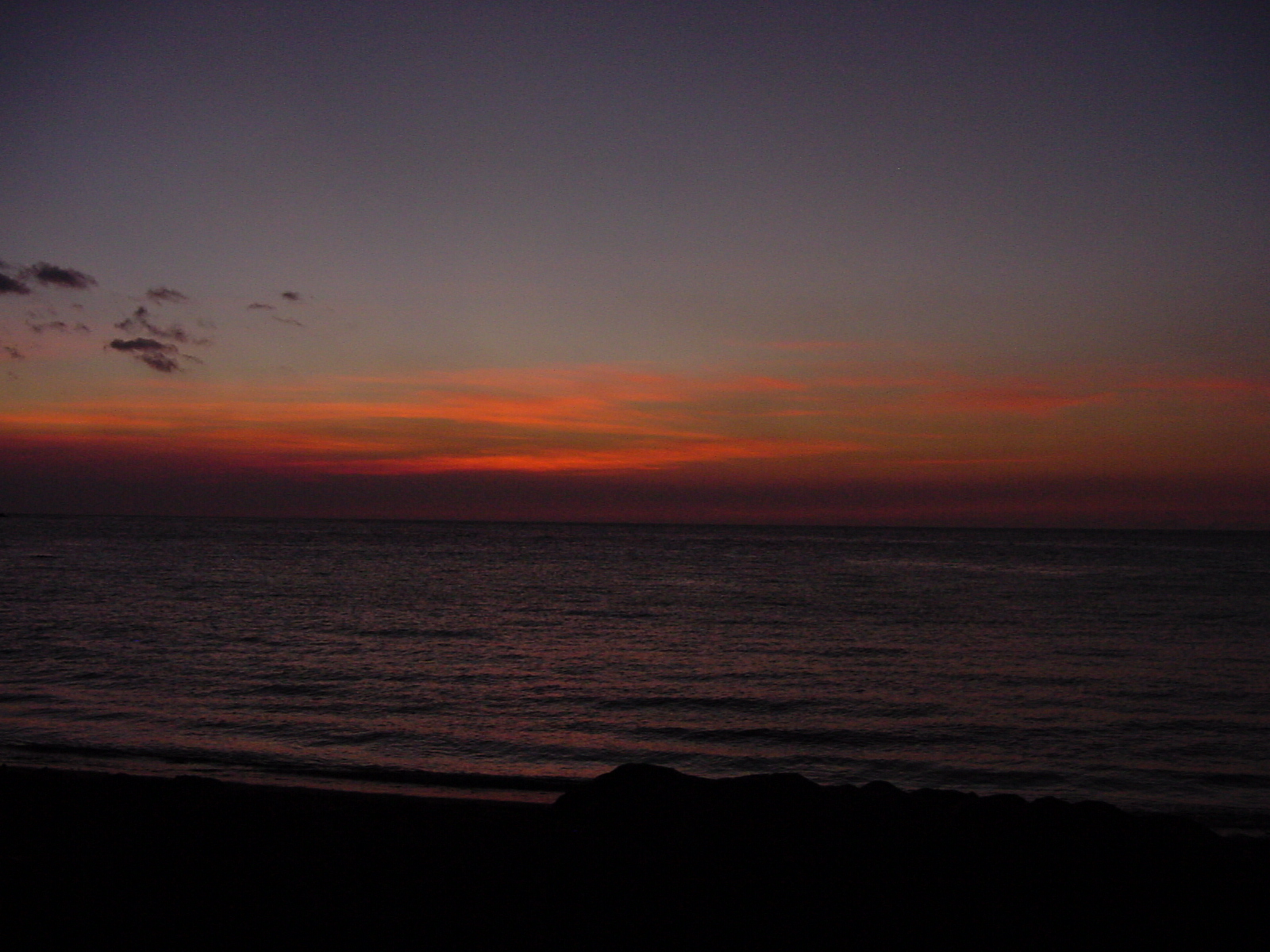
Sunset from Mauna Kea
Nice colors from sunset
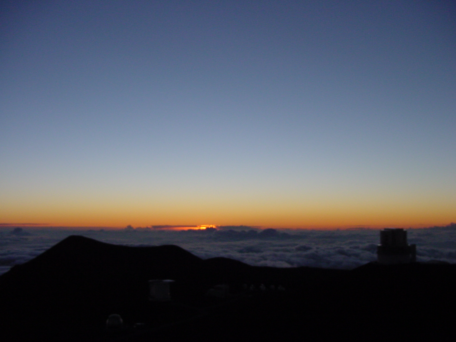
just after sunset
more
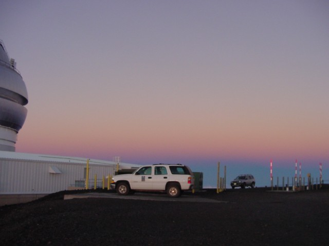
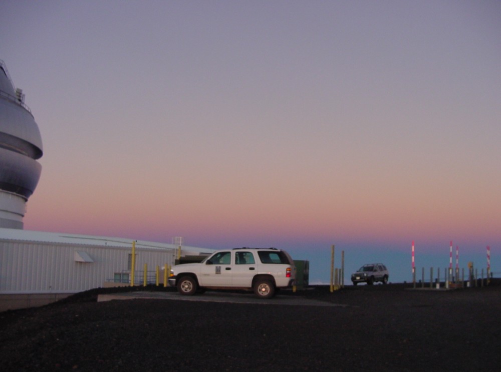
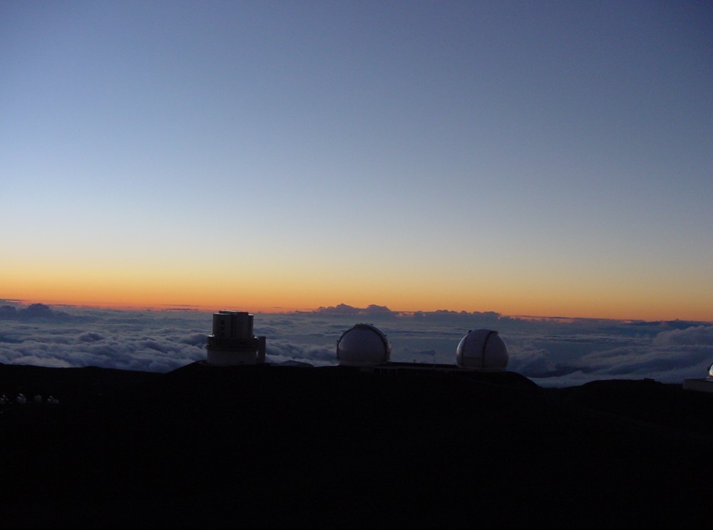
observatories after sunset
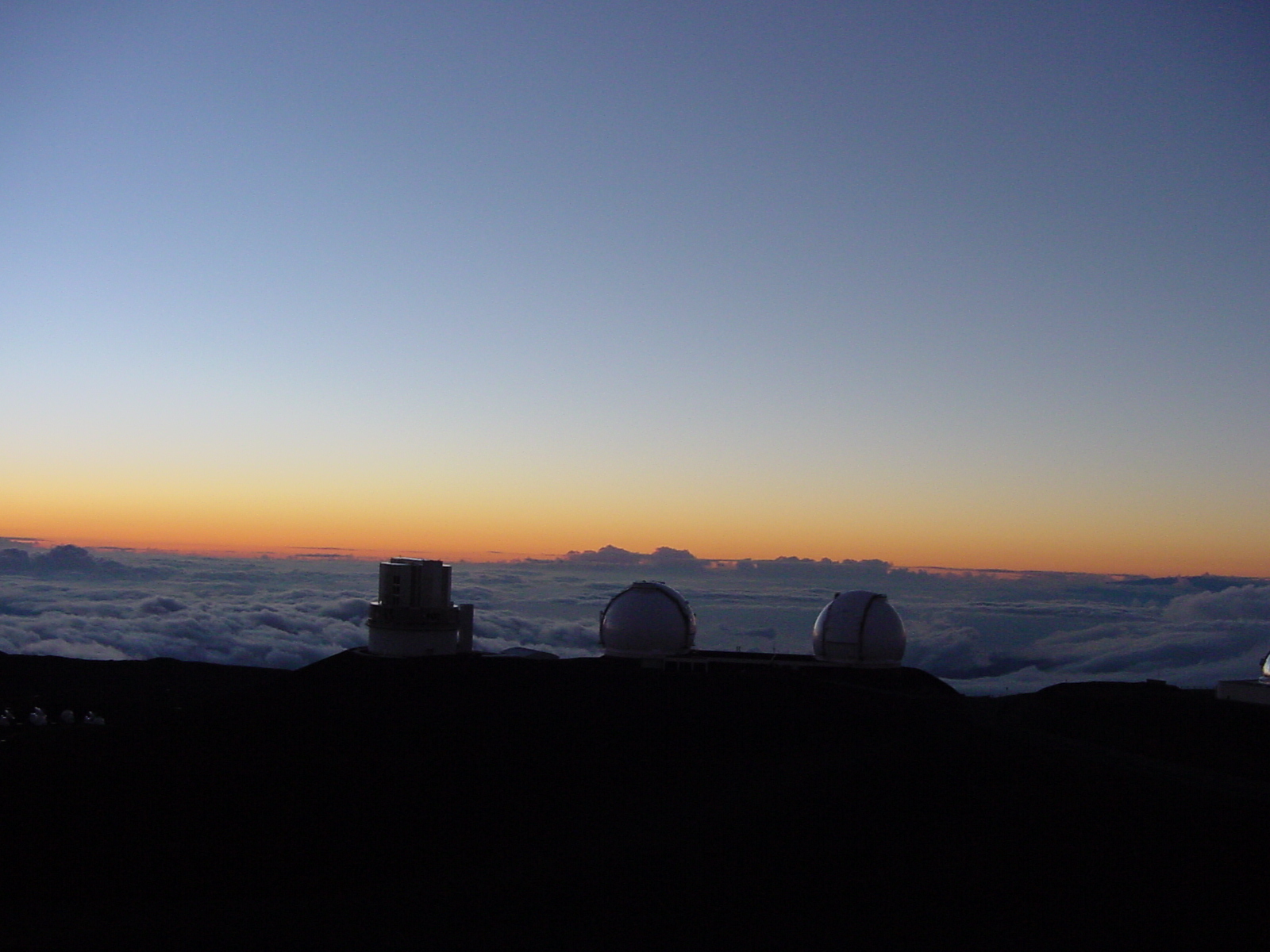
sky colors
starting to get dark
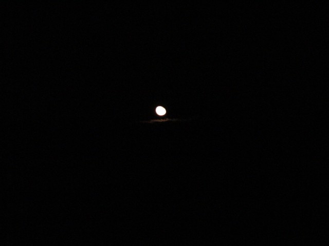
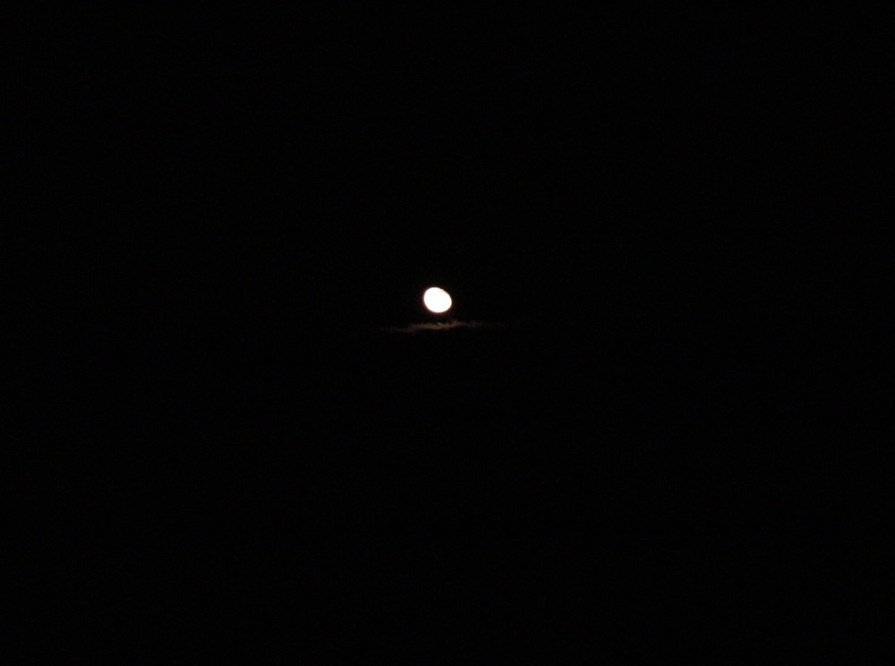
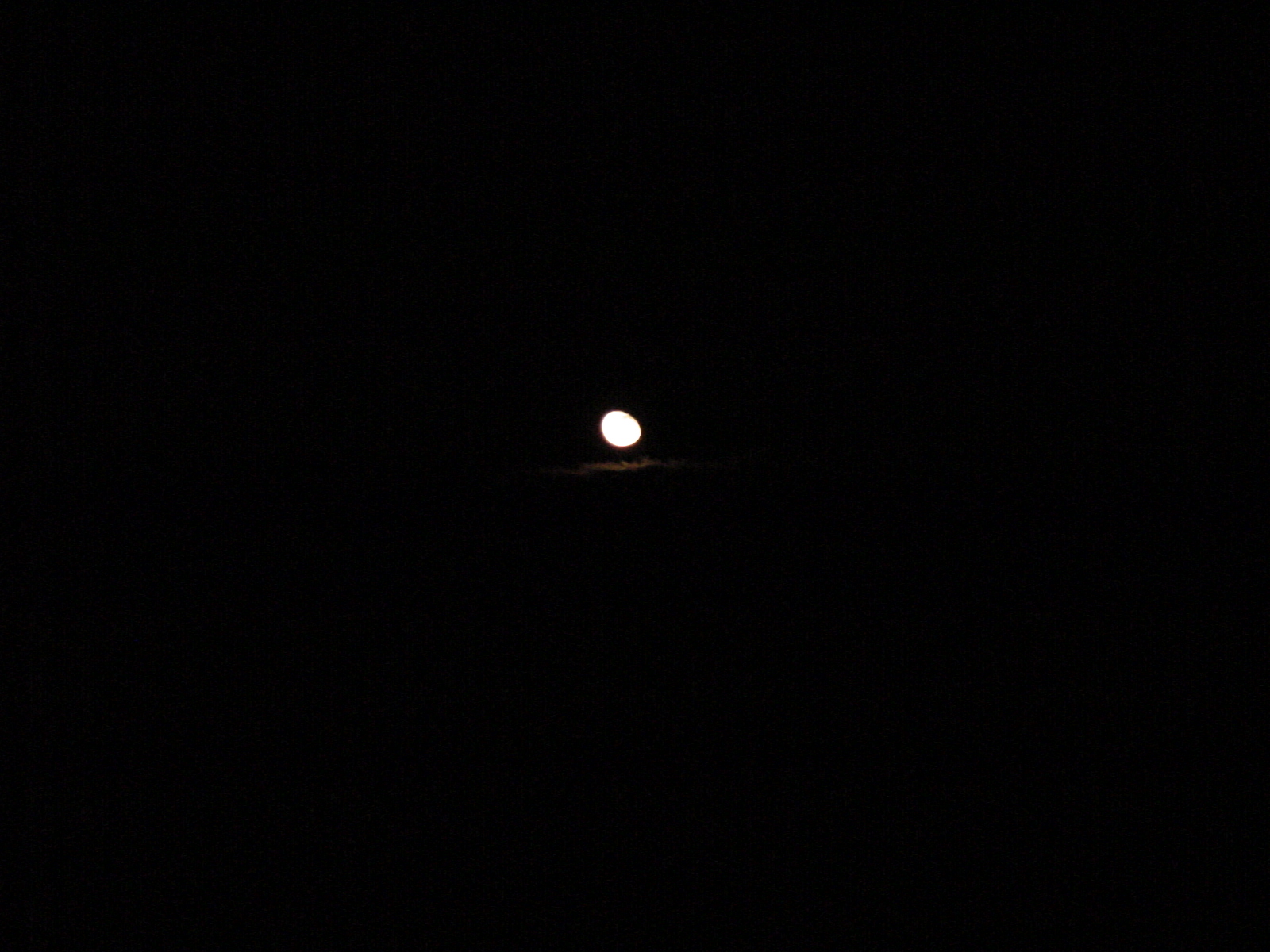
My camera doesn't take good pictures of the moon, although
this looked really nice as it rose over the hills
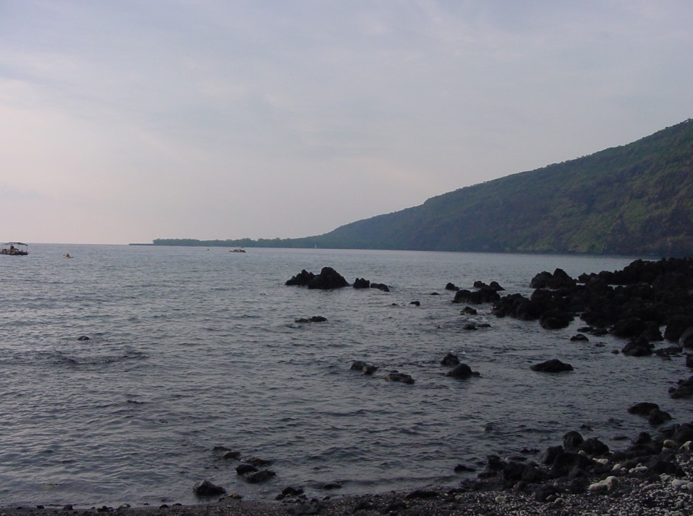
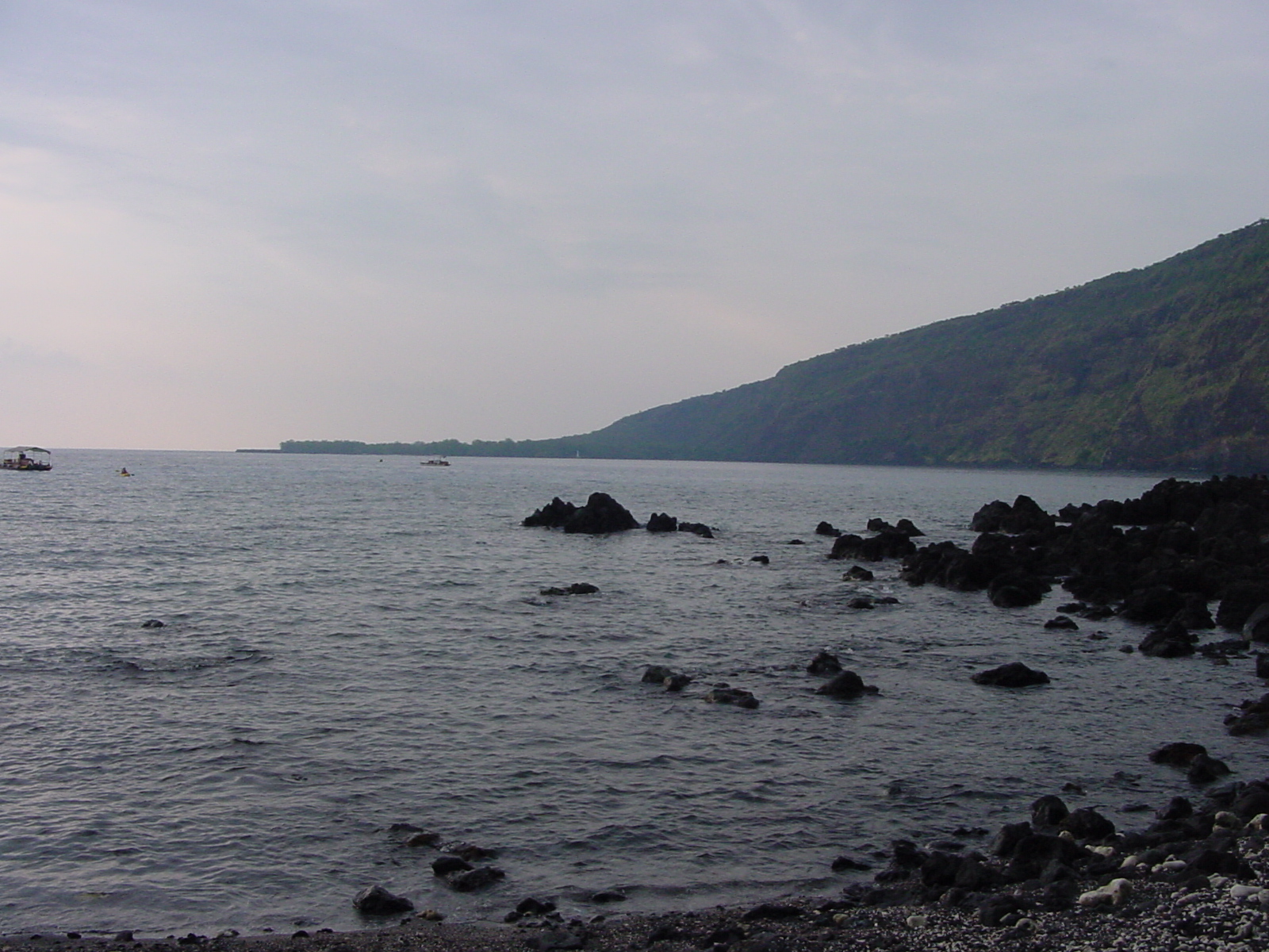
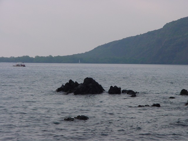
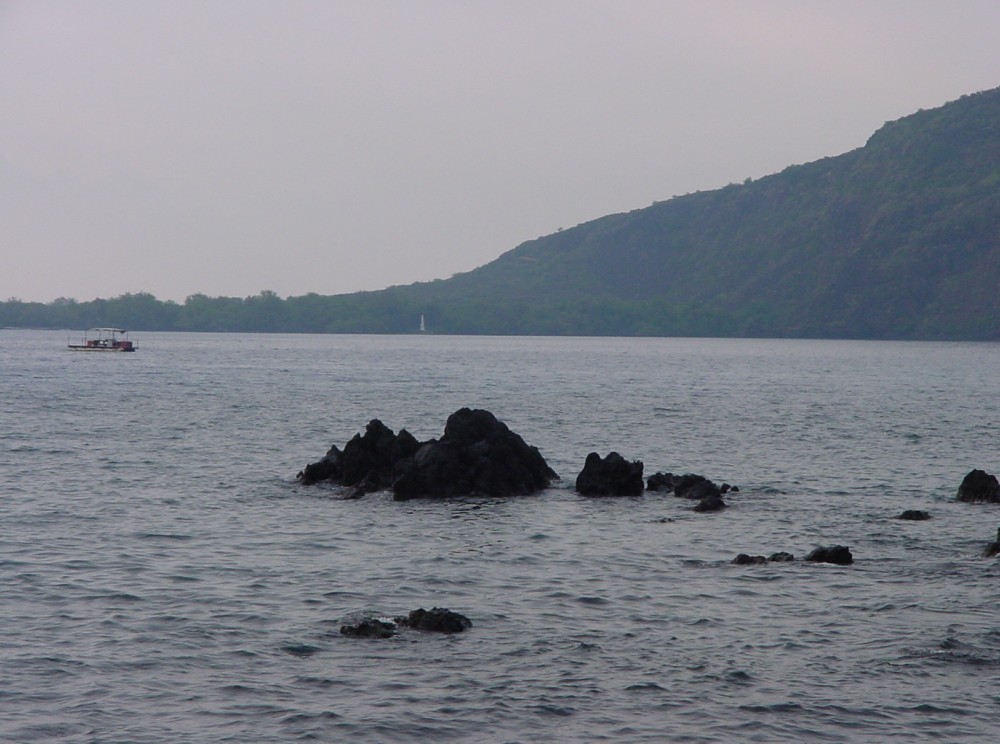
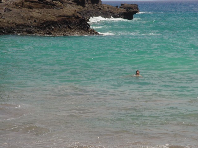
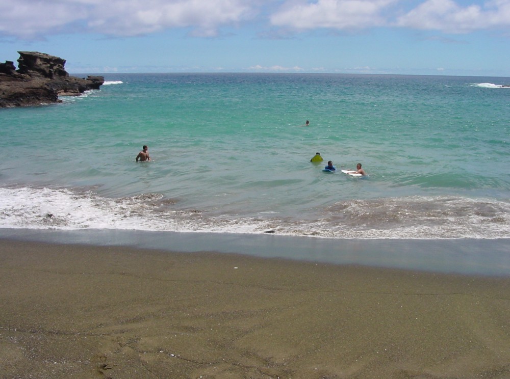
This is the Kealakekua bay, which we swam across on boogie boards
(1/2 mile each way) to do some snorkeling
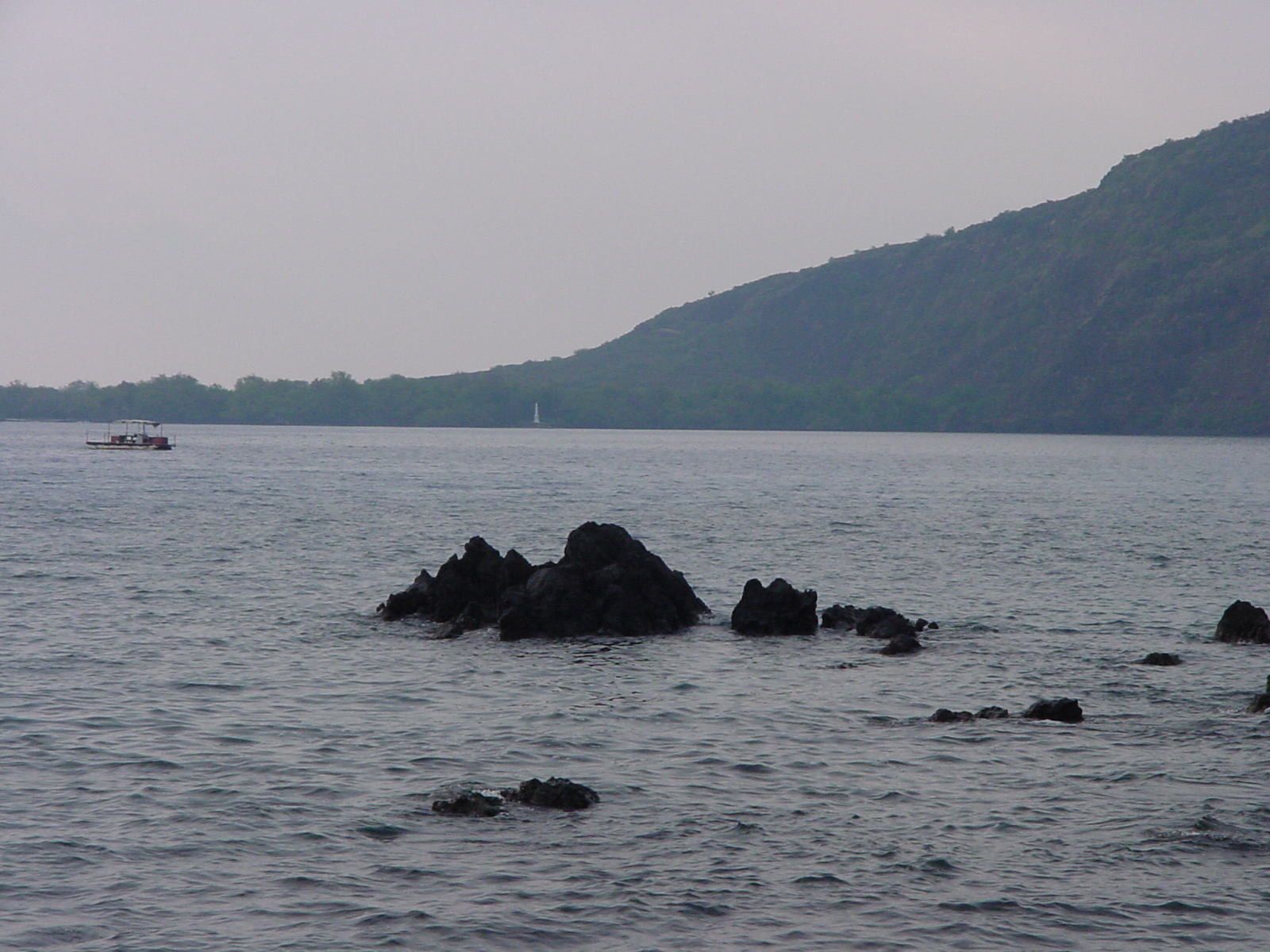
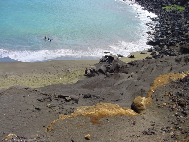
Closeup of Captain Cook monument on the other side of the bay. The
best snorkeling we did was in the water outside this monument. There
are cold water springs that makes the water near the reef colder and less
salty, and the fish seem to like that. We snorkeled here before I got
an underwater camera, so the shots on the other page are taken from
an area slightly further down the coast (but much easier to get to).
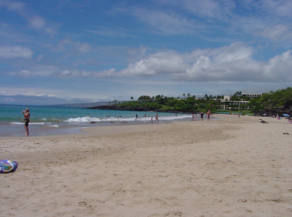
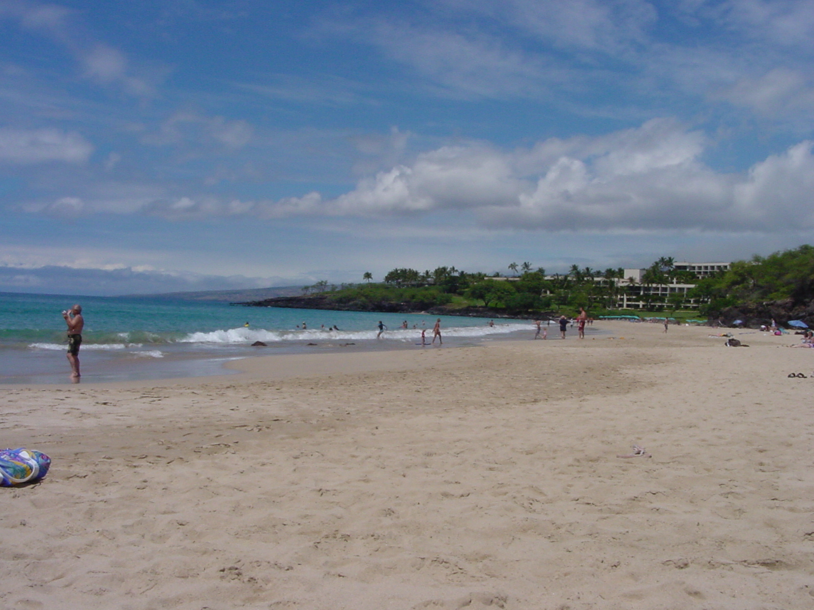
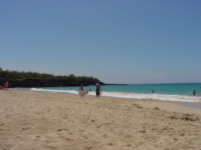
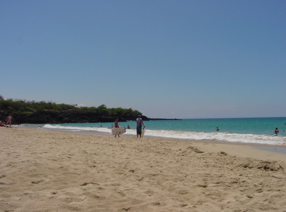
Hapuna beach, one of the nicest beaches on the island
another shot of the beach. Nice, clear blue water. You can see your
feet clearly while standing chest-deep in the surf
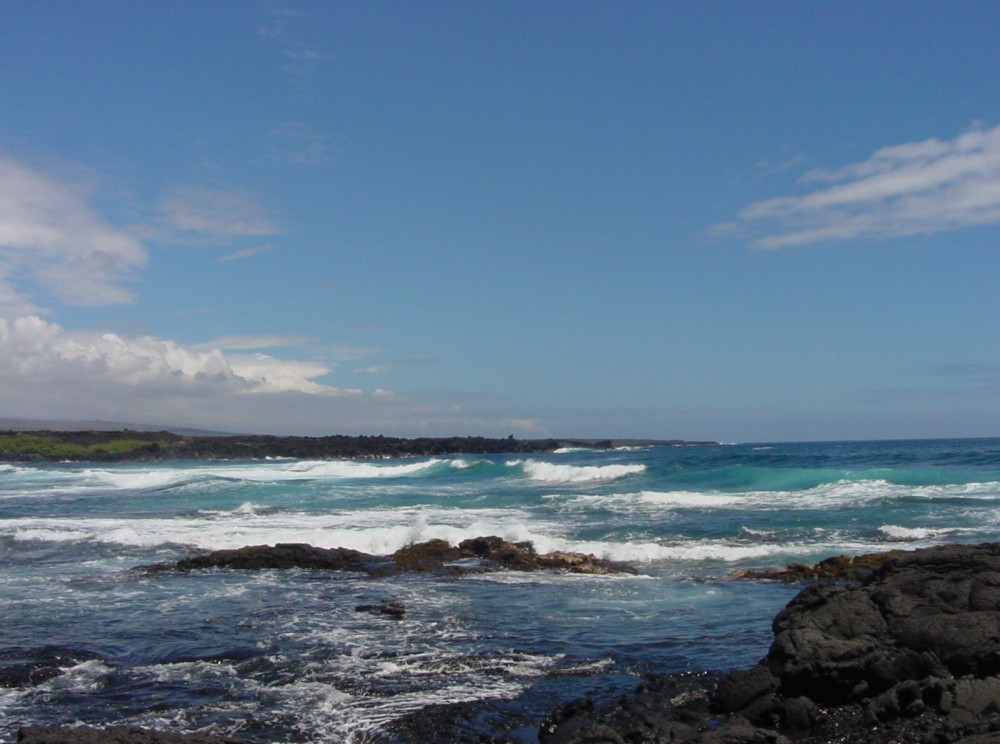
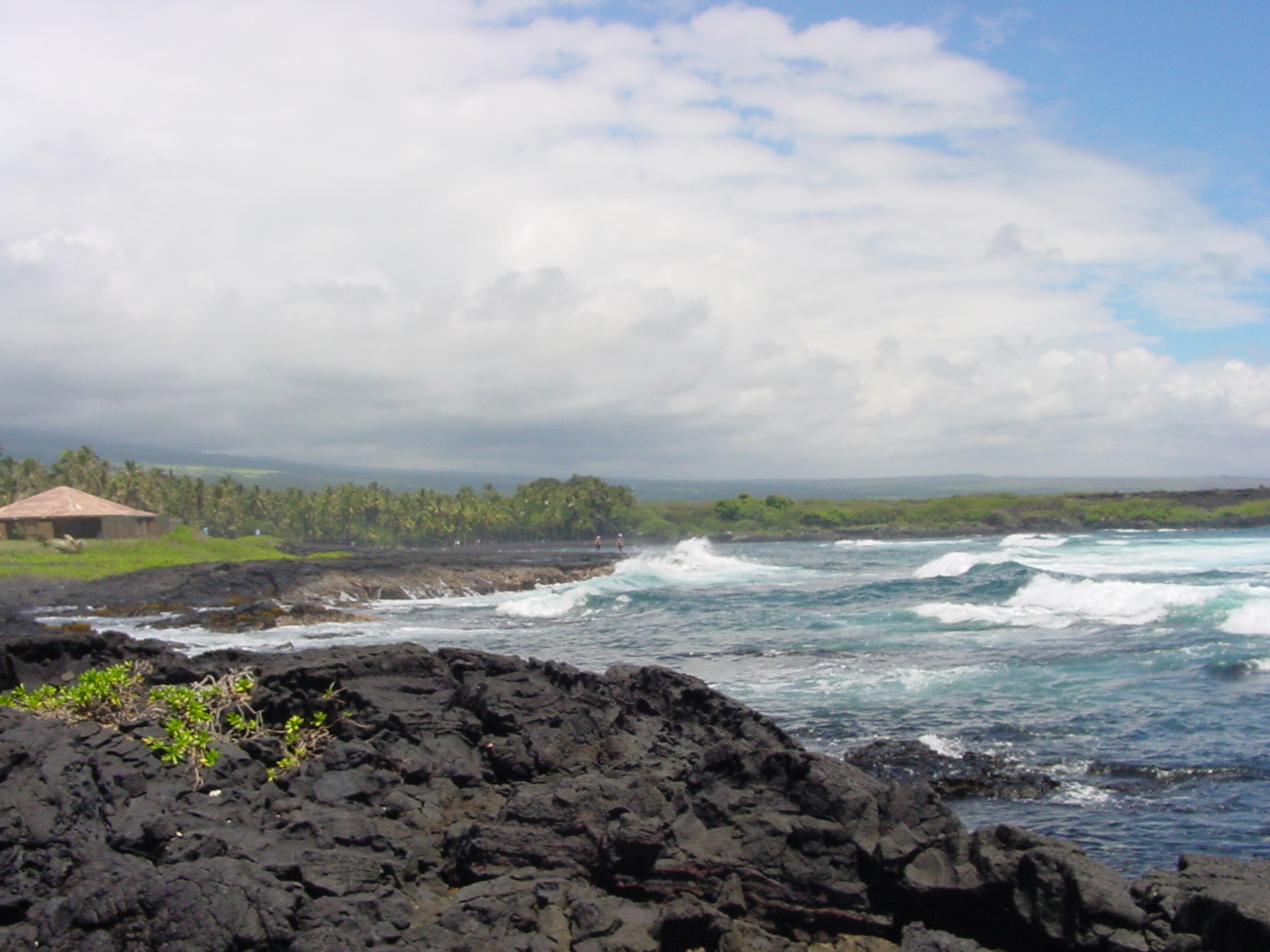
Surf by the black sand beach. This is on the south side of the
island, where the surf is usually heavier than the west.
Another shot of the black sand beach (taken from nearby lava rocks where people fish)
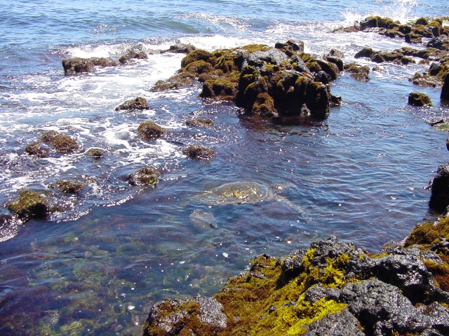
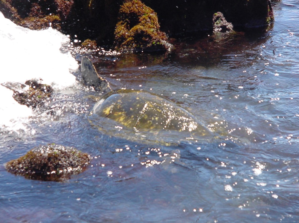
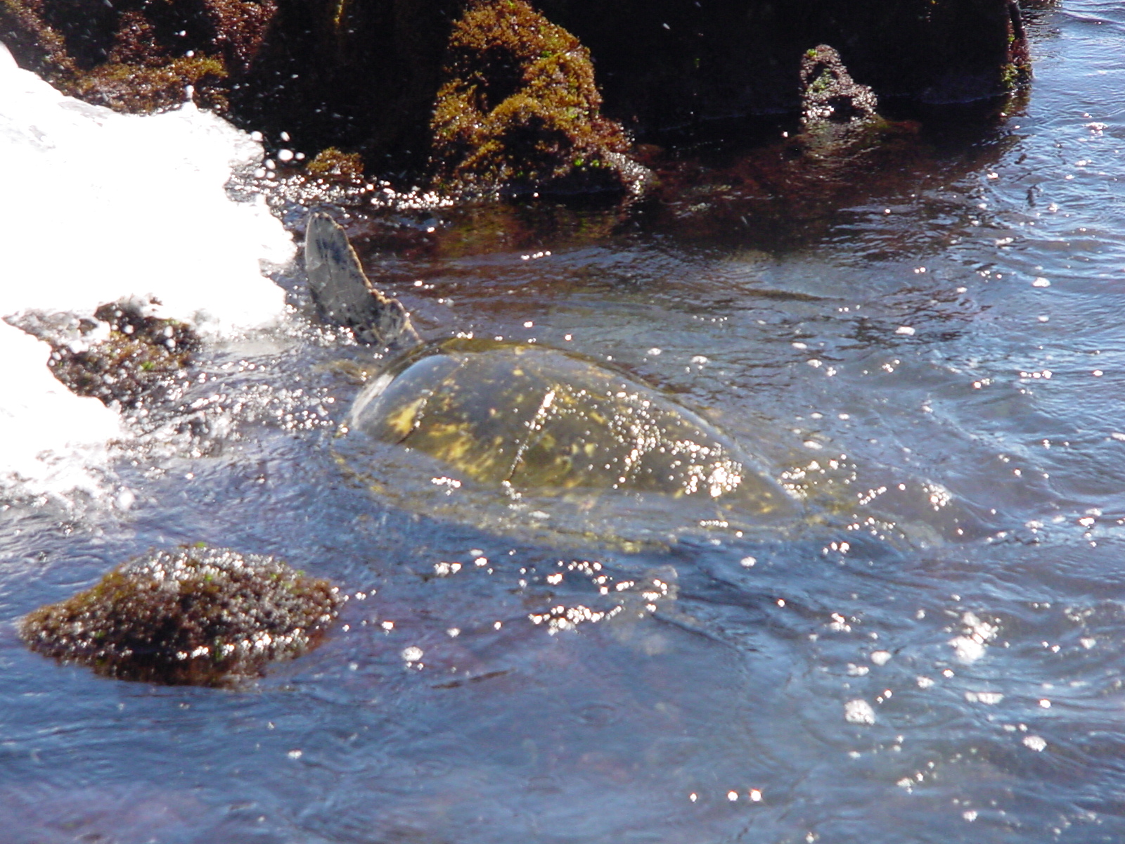
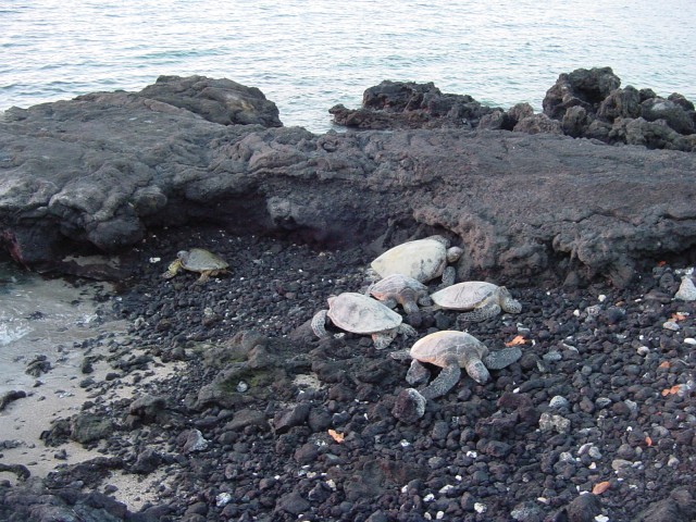
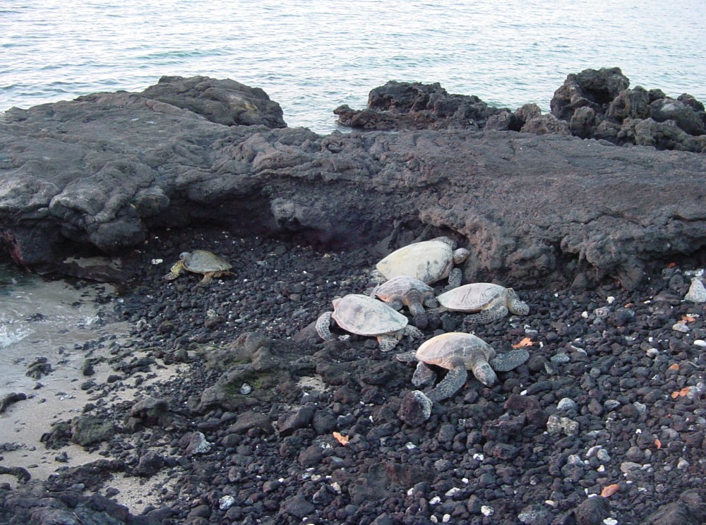
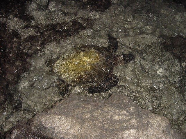
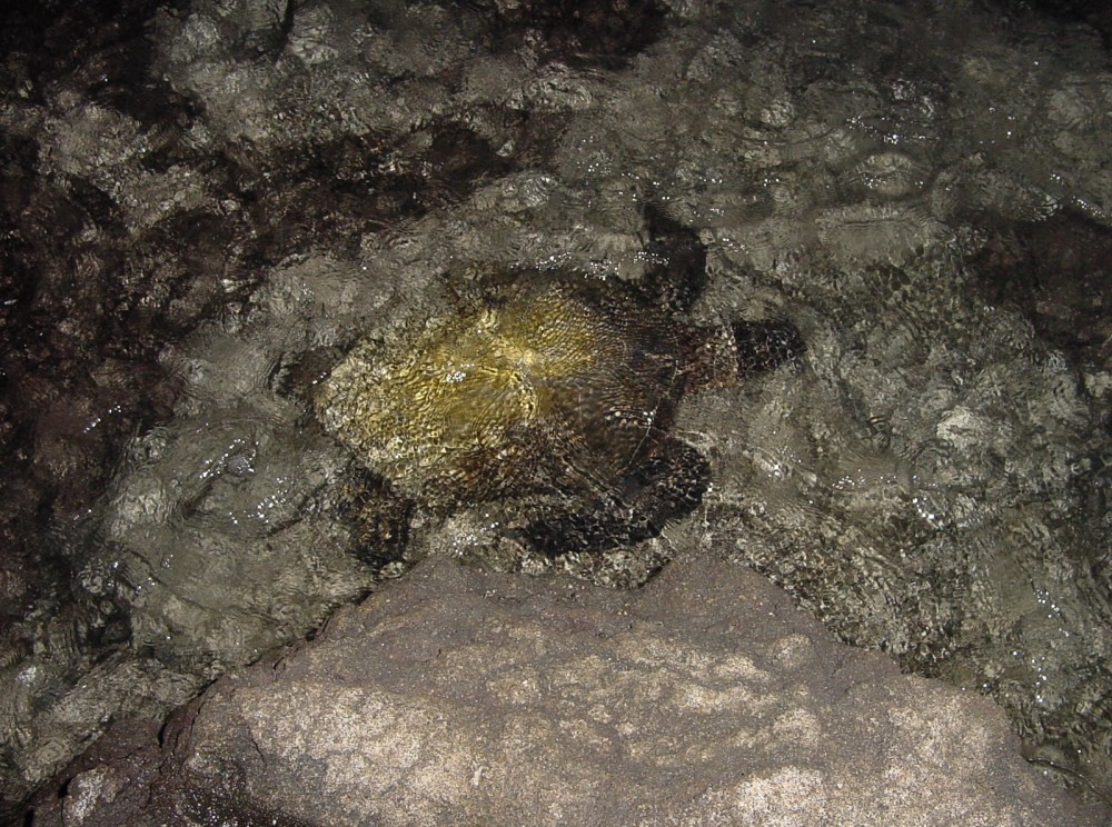
Sea turtle in the shallow water by the black sand beach
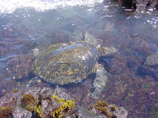
closeup of the turtle
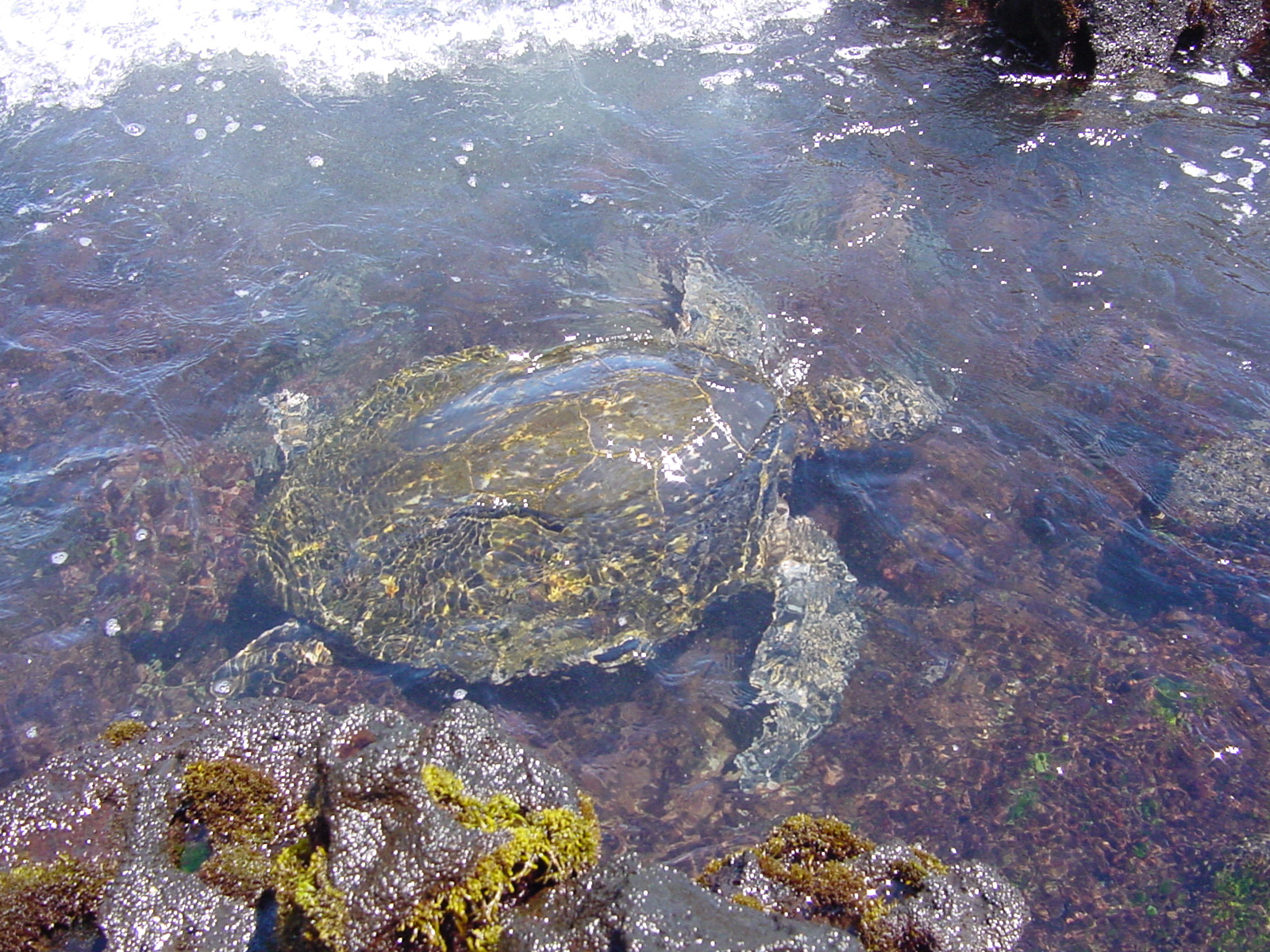
More turtle
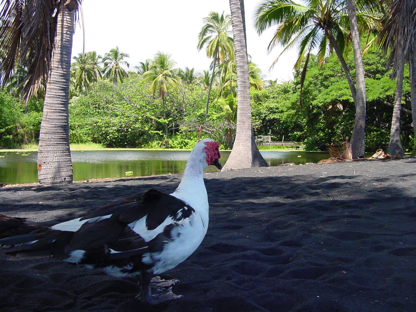
Rooster-like bird on the black sand beach
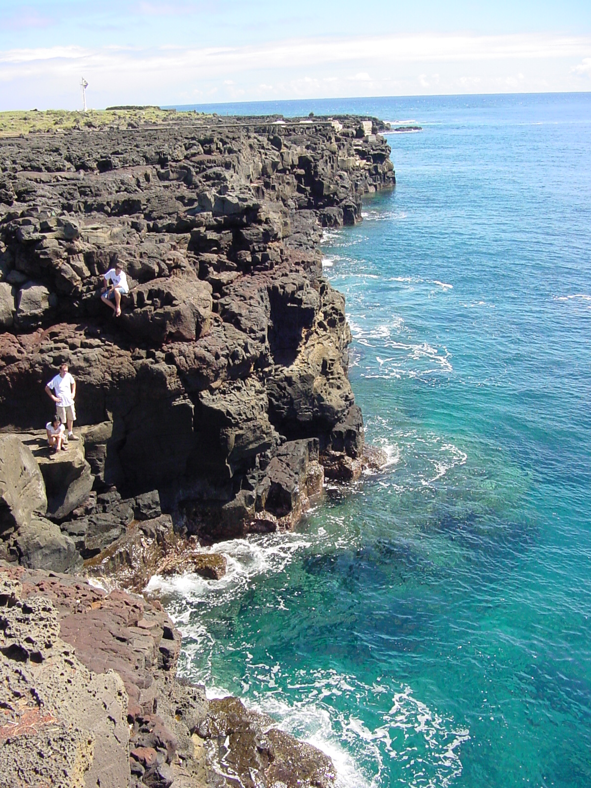
At South Point, the furthest south you can get in the US. The water
here was also really clear, but we didn't have time to snorkel or swim
here. The depth drops off quickly, and most people seemed to be
scuba diving instead of snorkeling
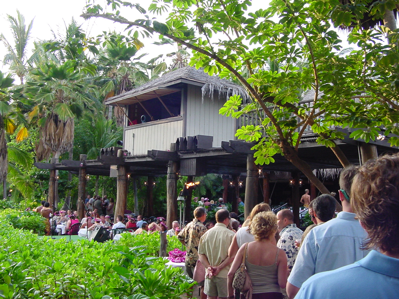
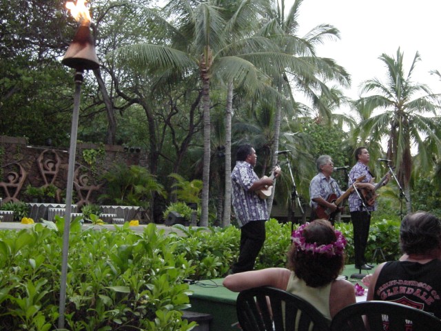
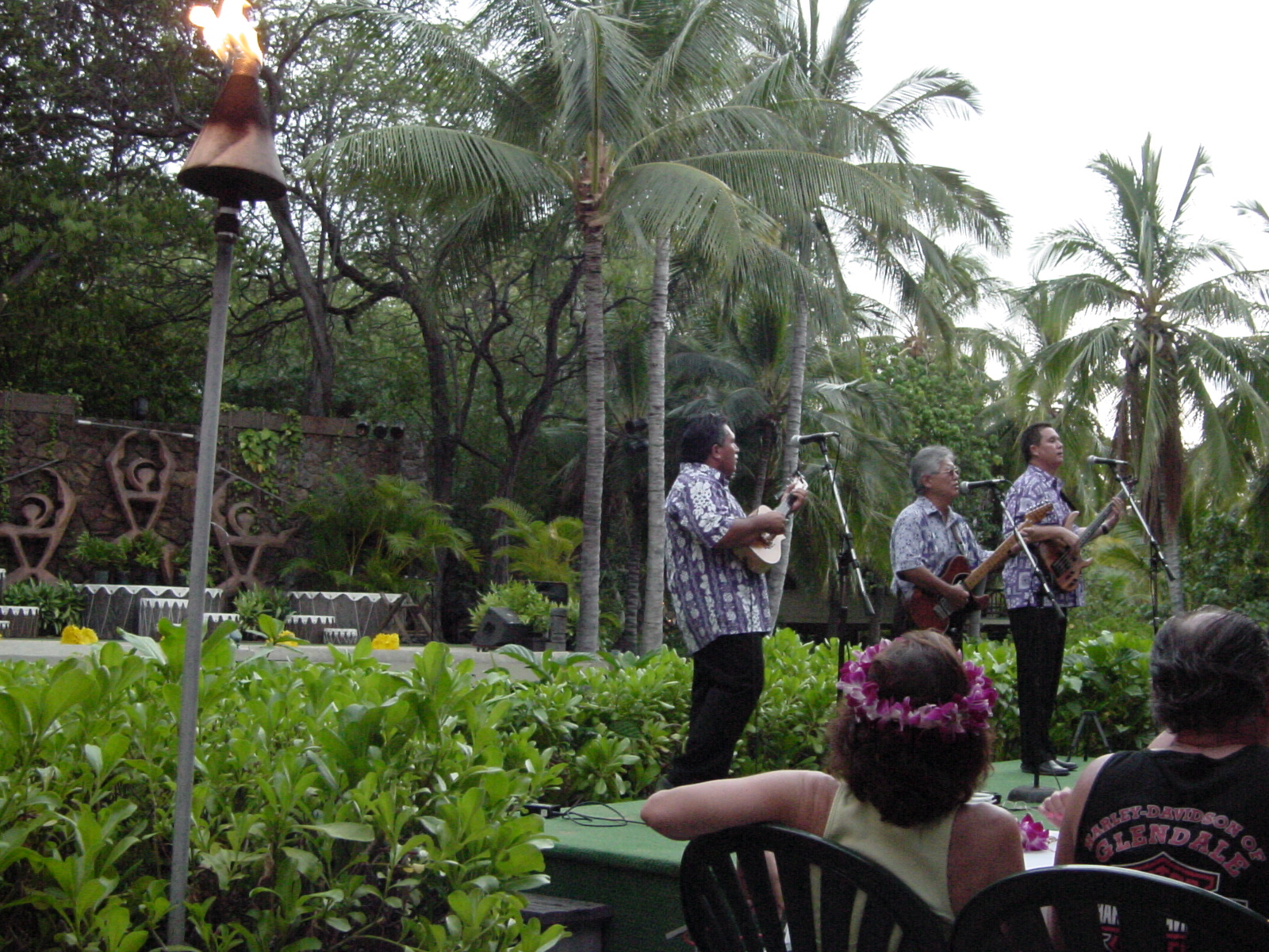
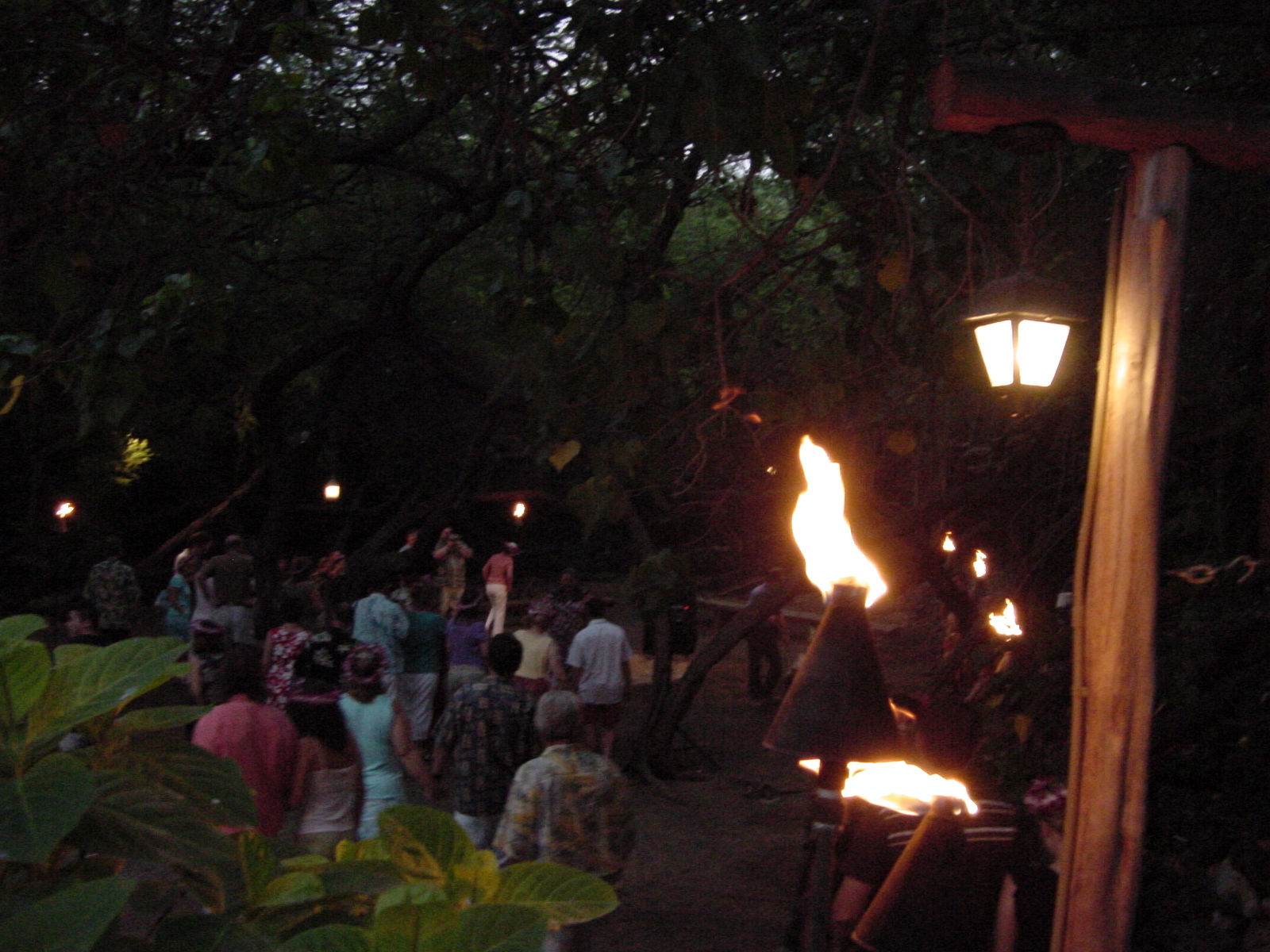
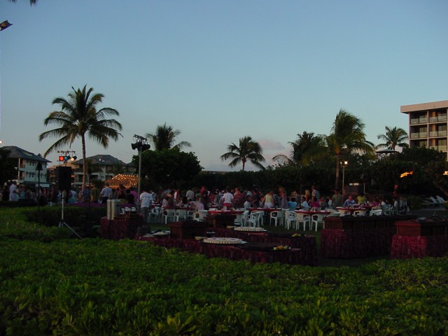
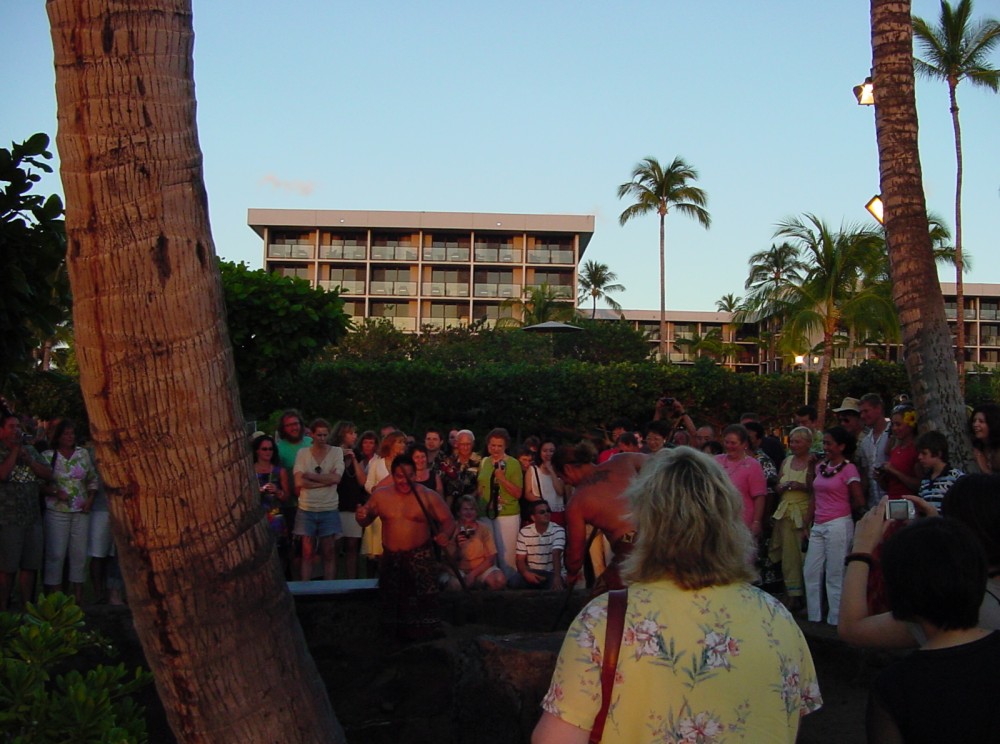
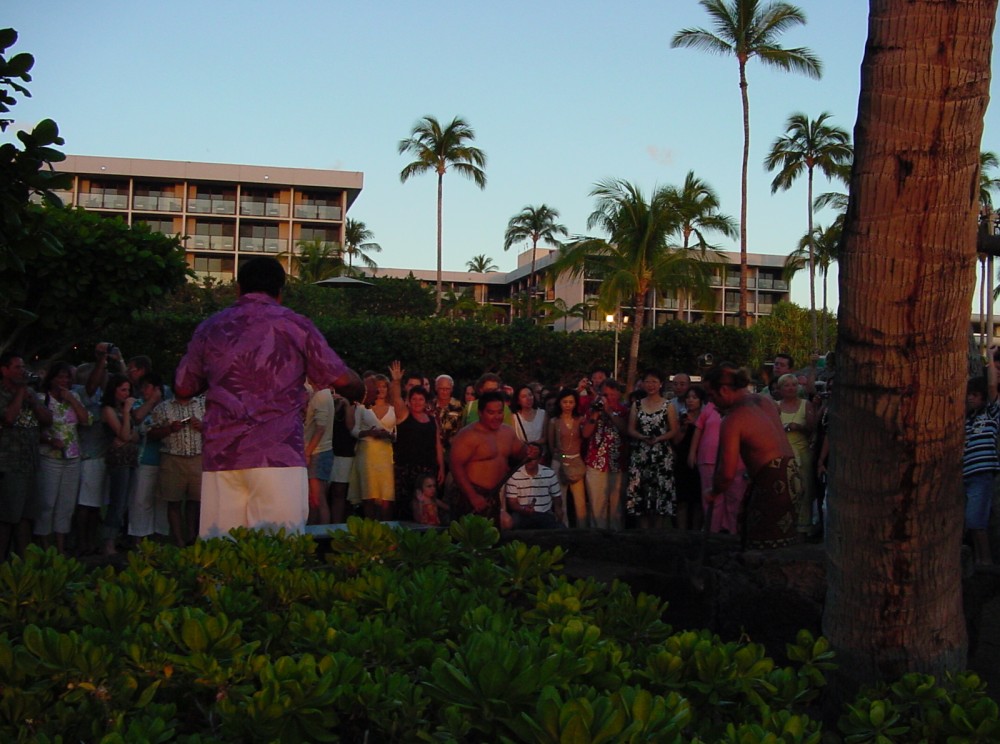
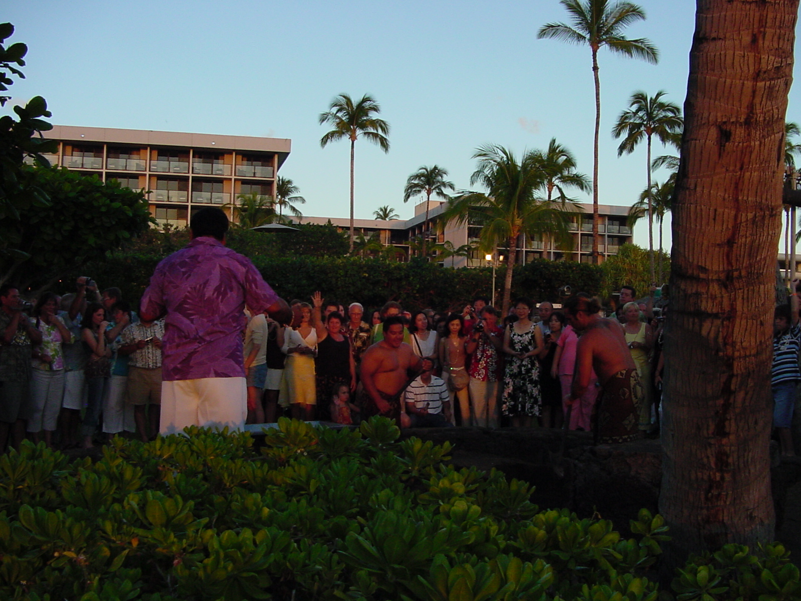
Lu'au at the Kona Village Resort
more
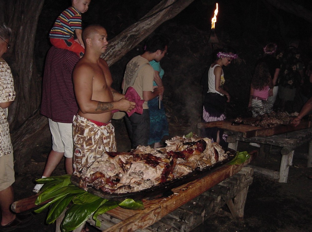
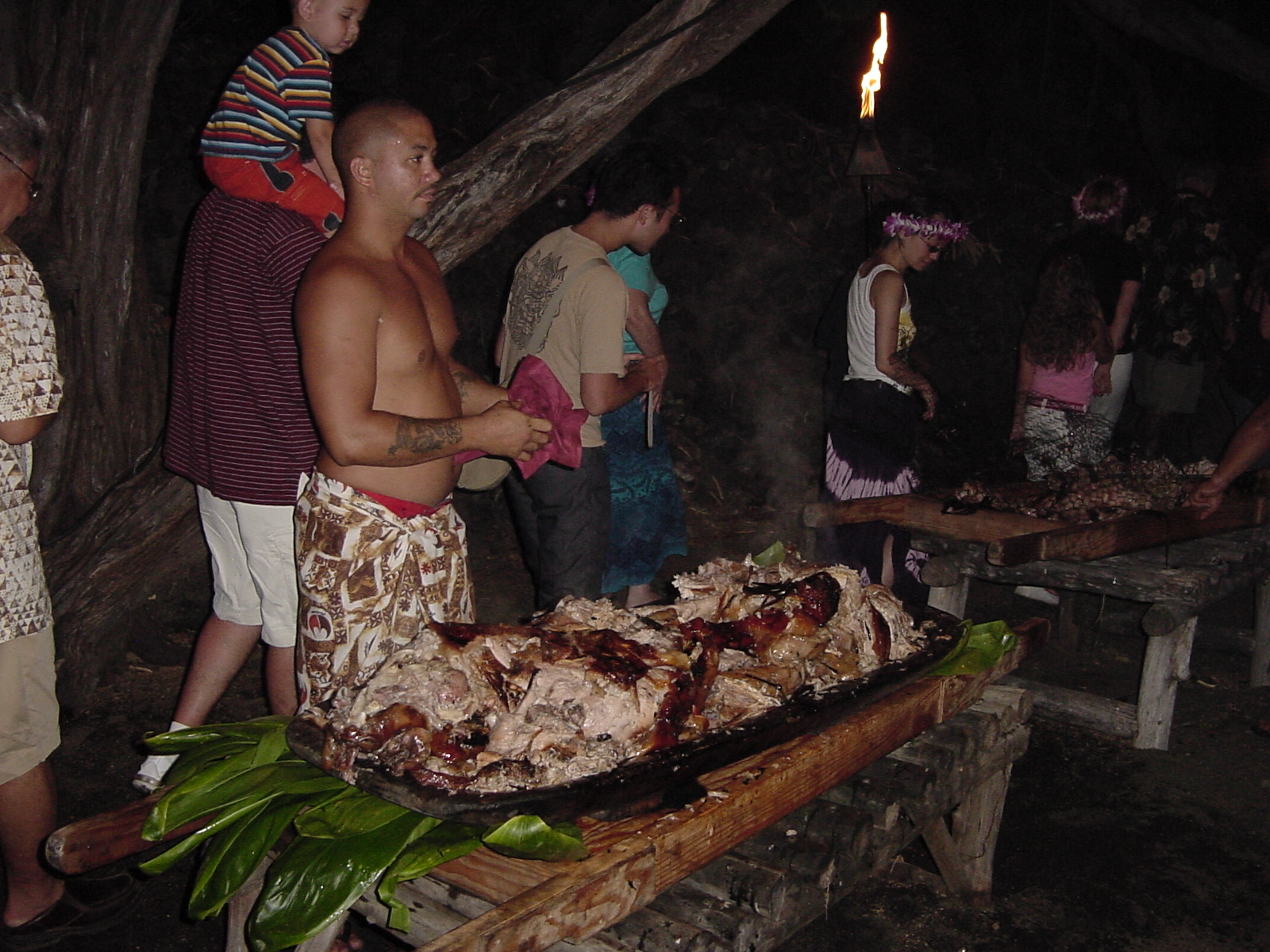
Unearthing the pig from the imu
getting rocks out of the pig
guy with pig
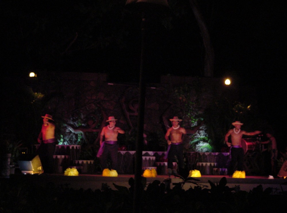
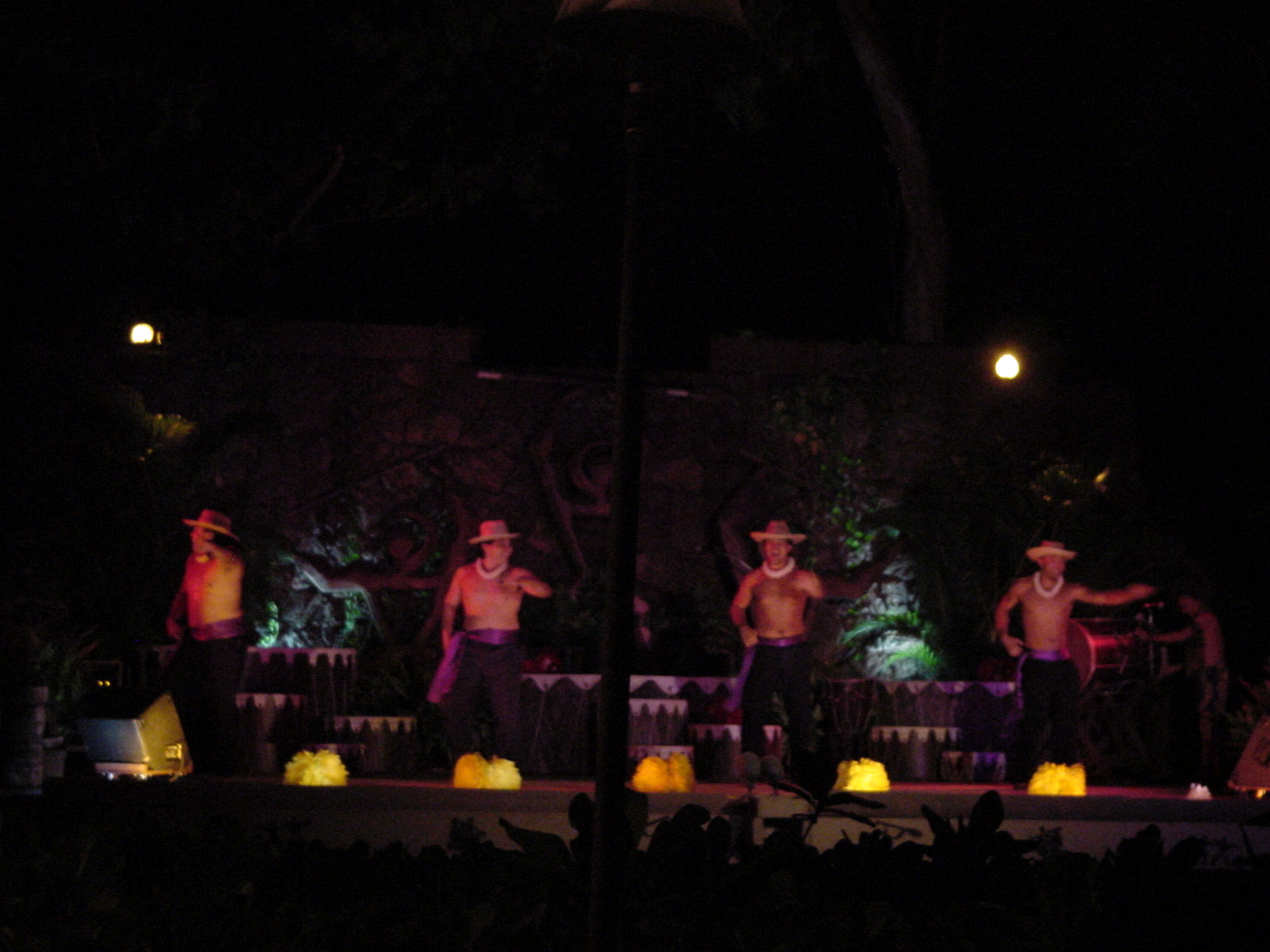
dancers at lu'au
These dancers represented the
cowboys the king hired to rid the island of killer cows.
They look like the most gay cowboys I've seen outside of SF.
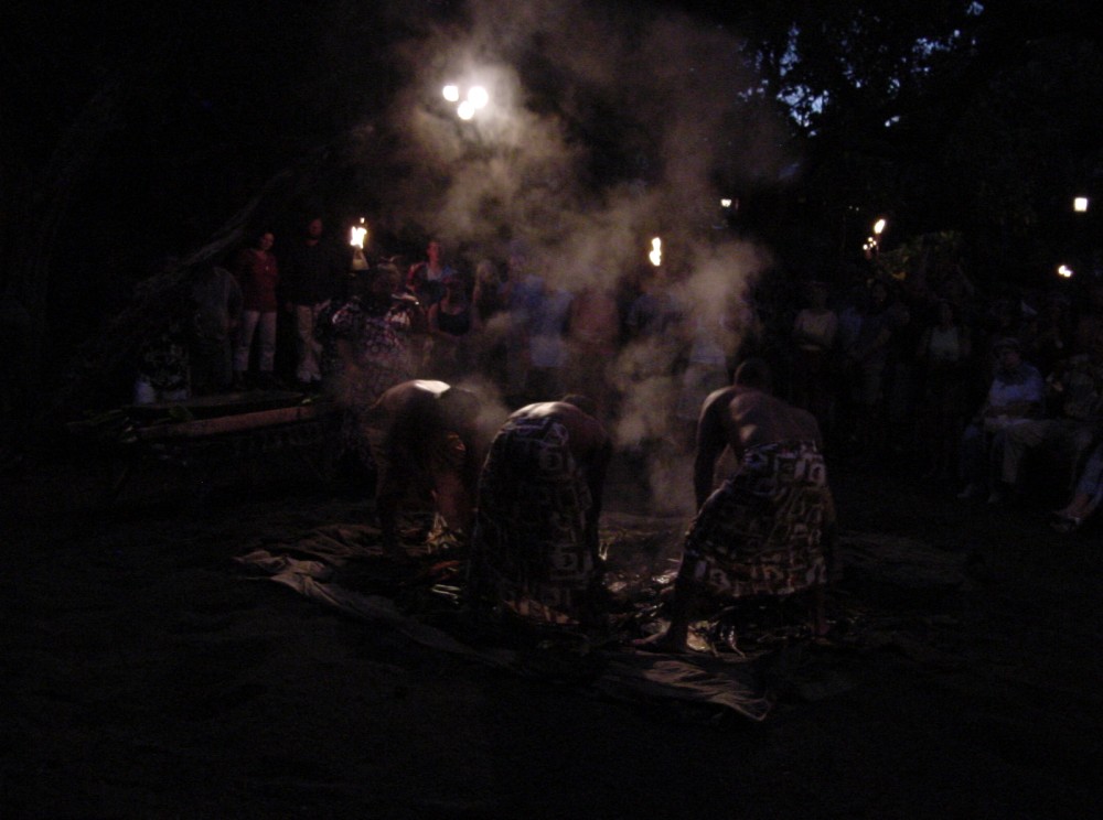
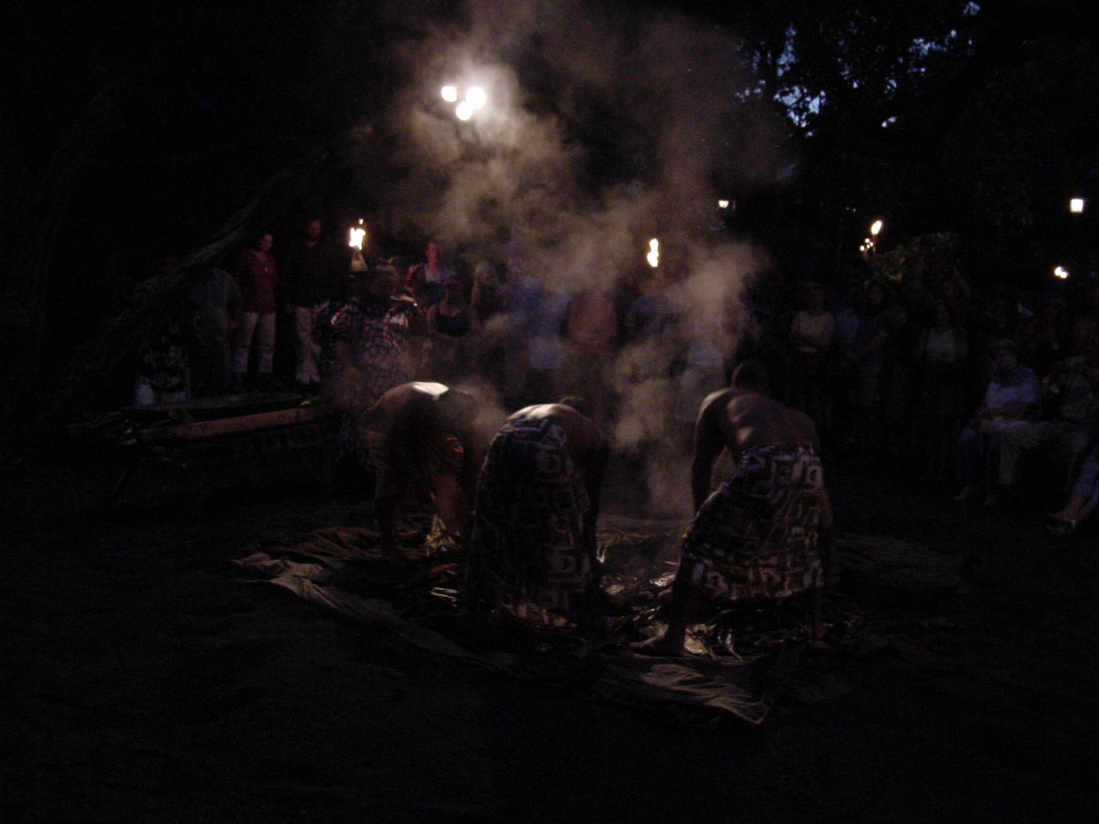
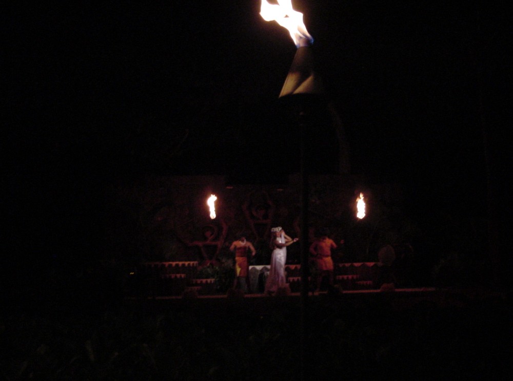
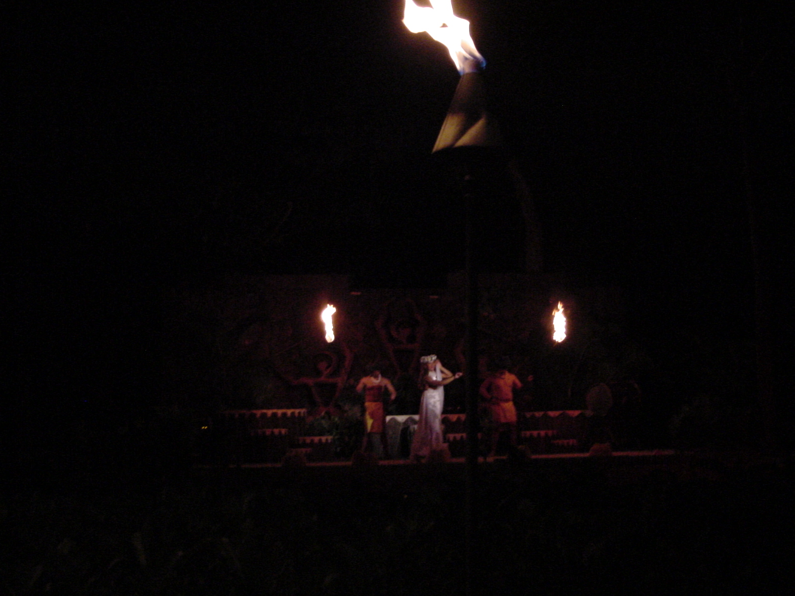
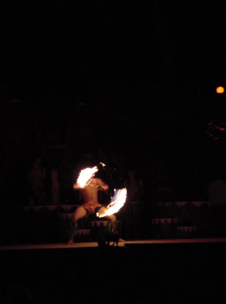
Samoan fire dancer at lu'au
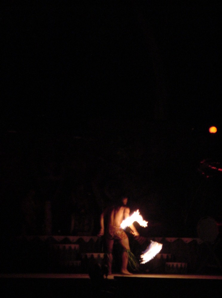
more
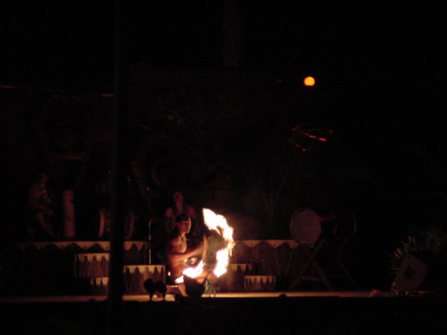
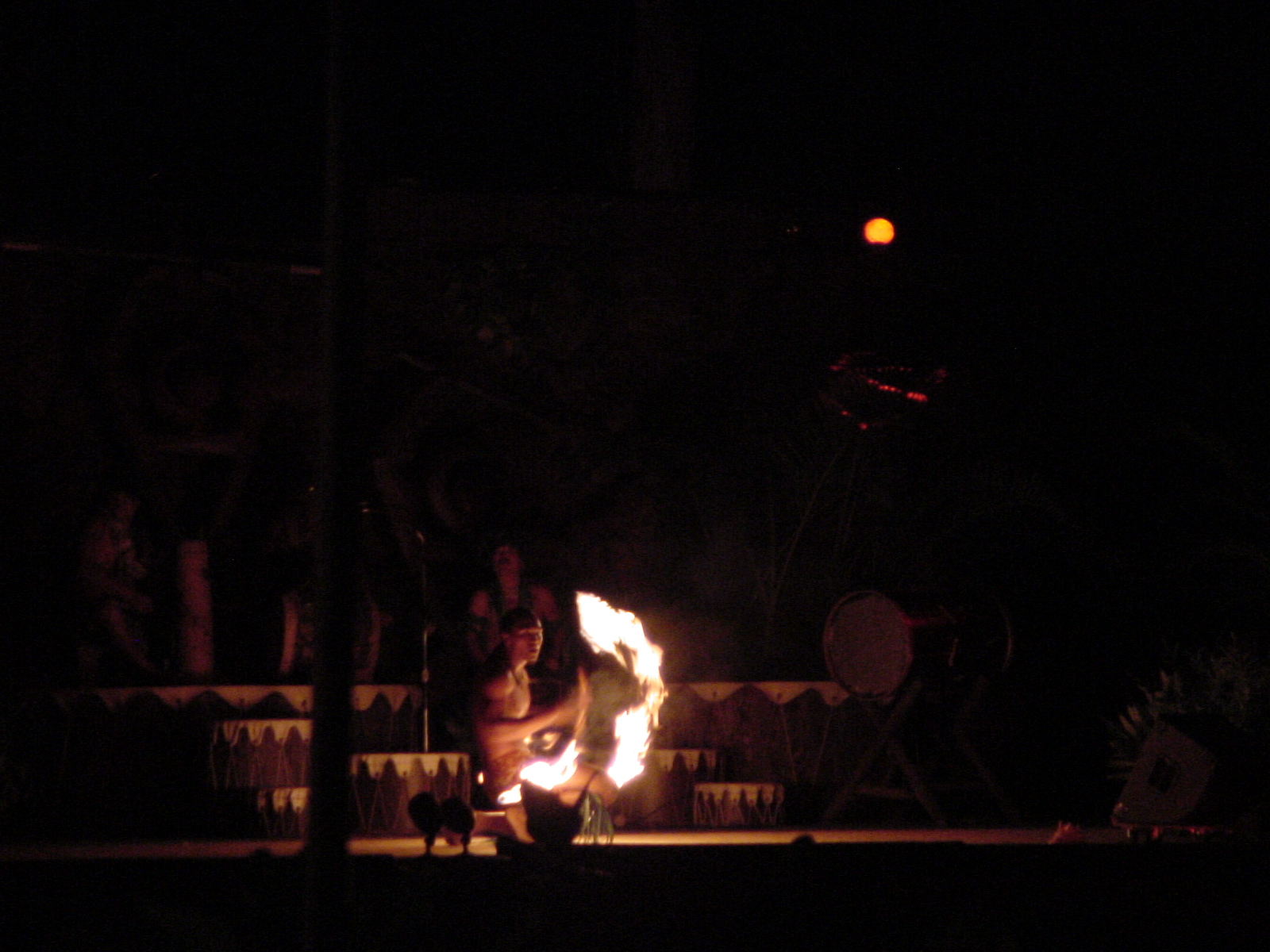
more; 2 fires spinning at once
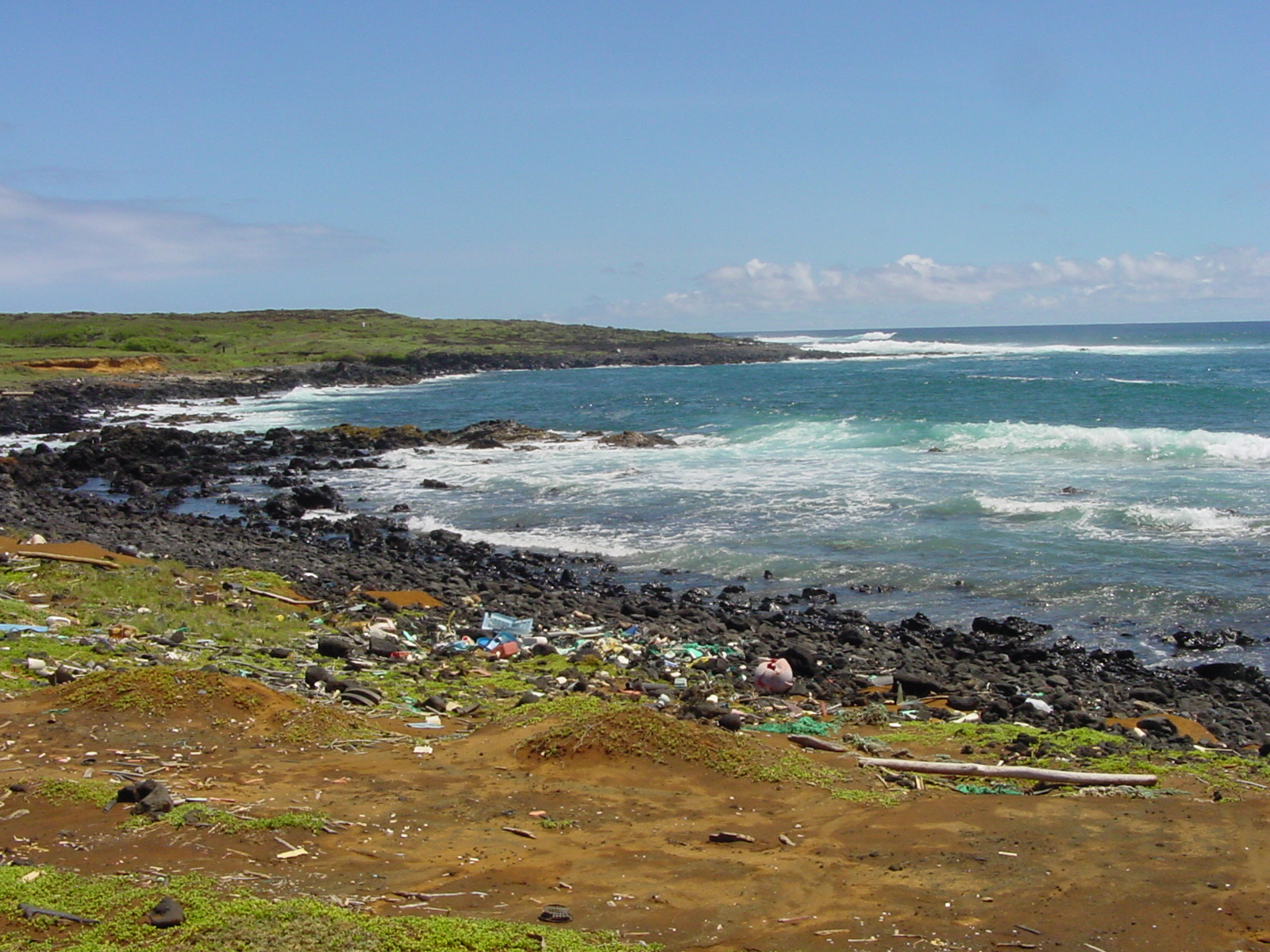
Infamous "trash sand beach" on the way to the Green sand beach.
There is lots of trash that blows up in storms, and this area has
no well-maintained roads (lots of 1-lane, barely-paved roads). I suspect
that trash pickup and road maintenance are county (district?) responsibilities
and this area appeared to be one of the poorest on the island, probably
getting few if any taxes from the resorts on the other side.
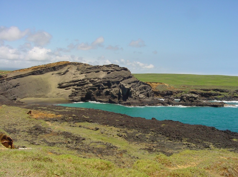
Green sand beach, about a 2-mile hike from South Point. You can
also get there in a 4WD, but (unlike Mauna Kea) you really do need
a serious vehicle to go over the roads leading to this beach
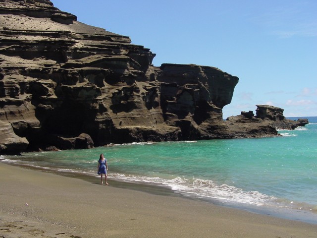
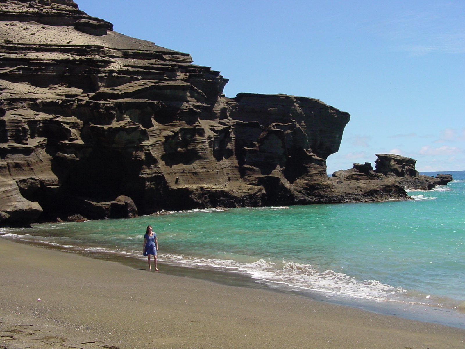
on the Green sand beach
in the surf at the Green sand beach
more swimming
looking down at the beach from the cliff above; there are
ladders and other easy ways down
Green beach from a distance; while hiking from the nearest
2WD-accessible area, the quickest
way is to take the most inland paths and look for this rock in
the distance. Hiking takes about 40 minutes each way, but over
an hour if you take the paths directly along the coast.
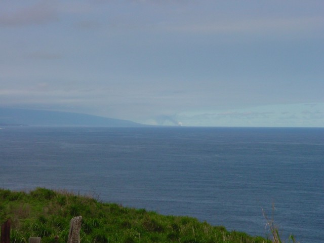
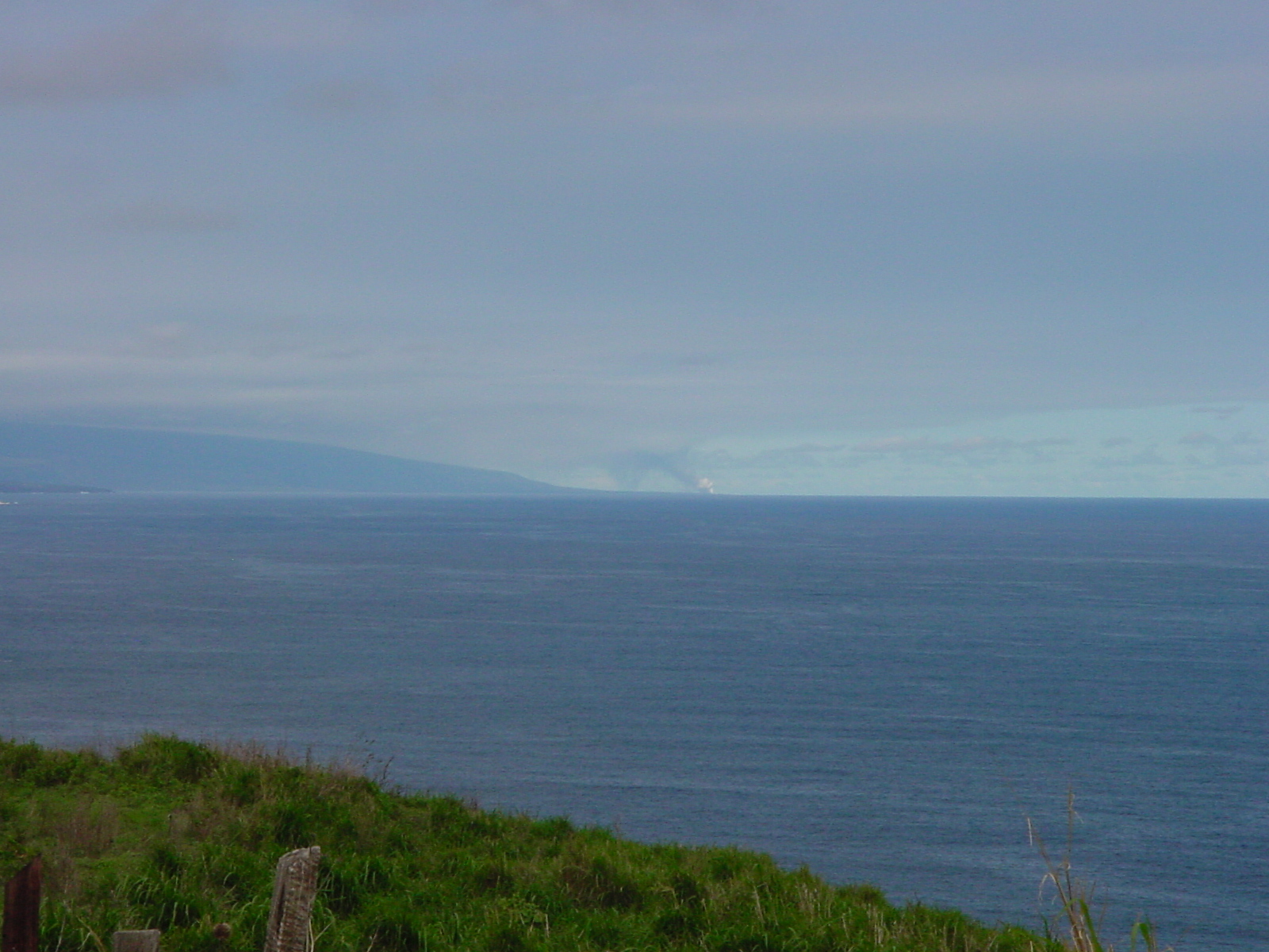
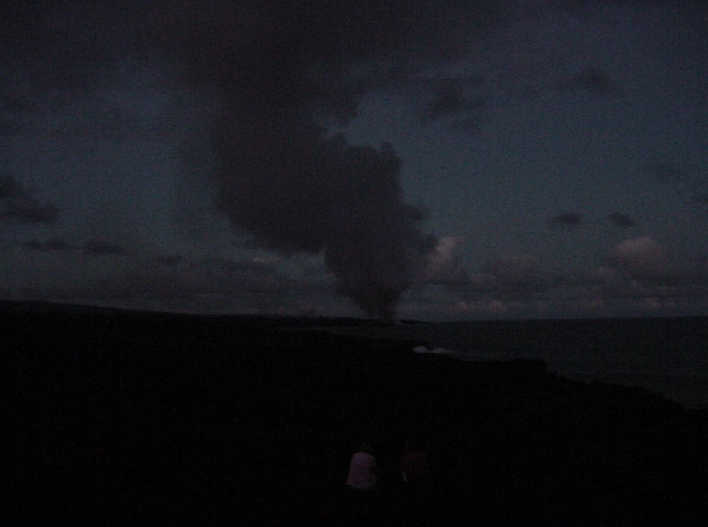
Steam plume from lava hitting water, taken from near the black
sand beach
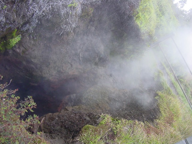
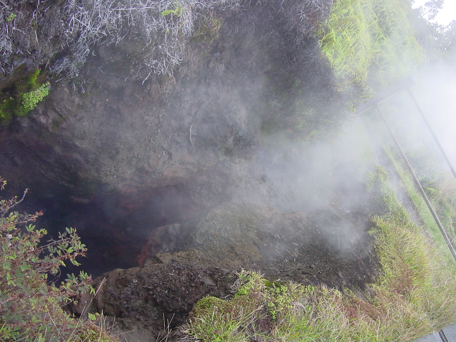
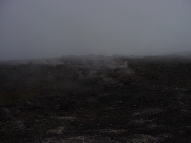
steam vent near volcano; this steam was hot!
coastal plain near volcano, with all villages destroyed by lava and/or tsunamis
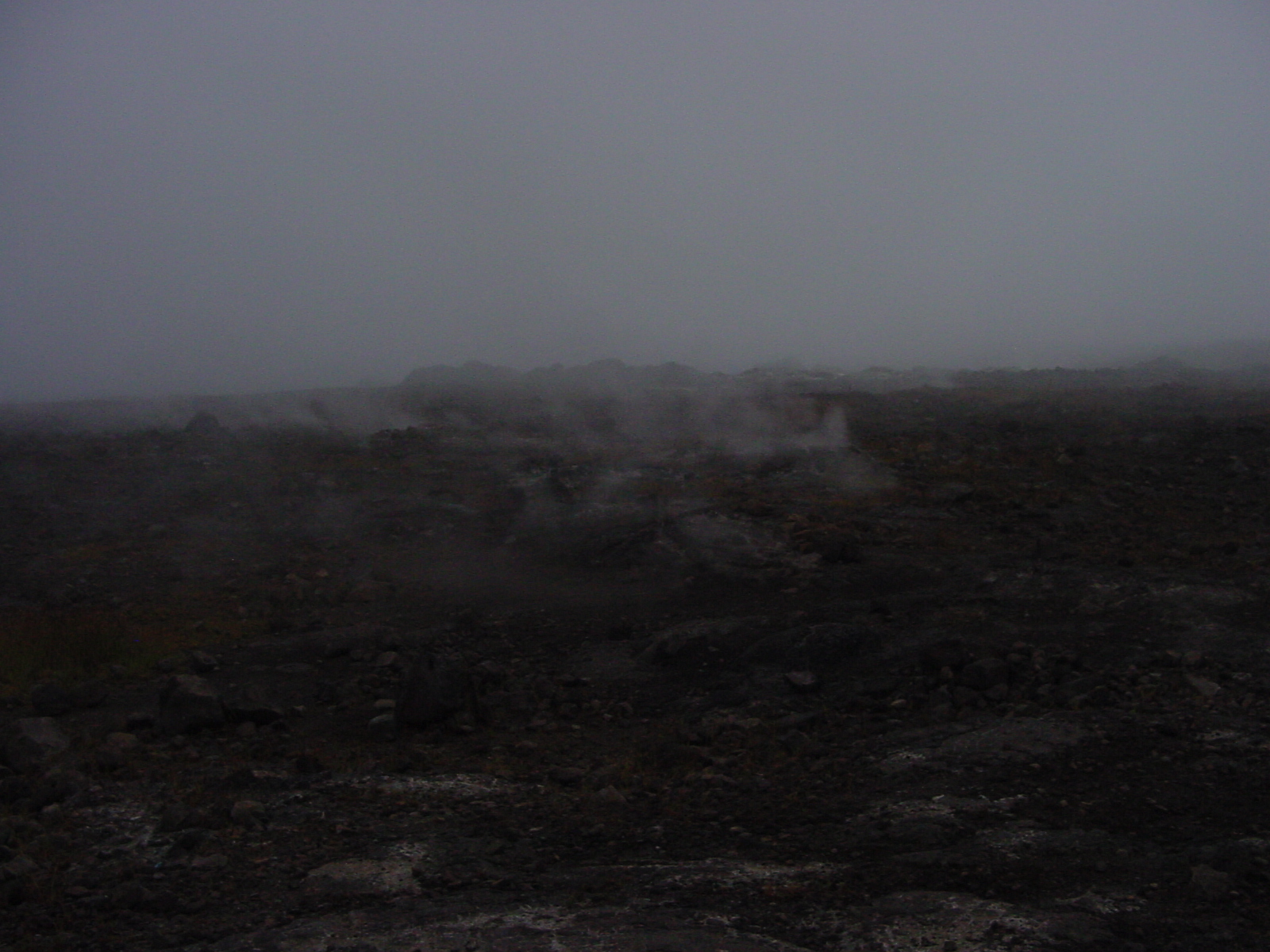
steam/fog-filled crater. There was actually a lake of lava here
during the 80s, but it was very unimpressive now because the steam
obscured the bottom most of the time
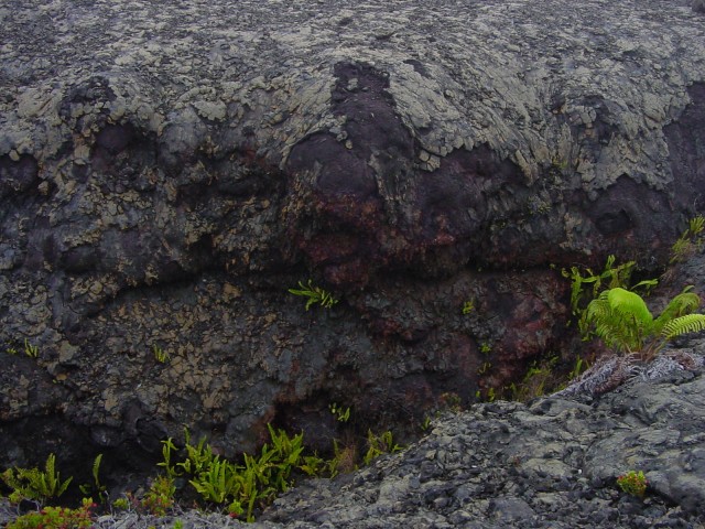
crack from recent eruption in the 70s or 80s
bottom of another crater; dry lava
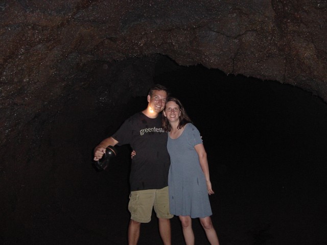
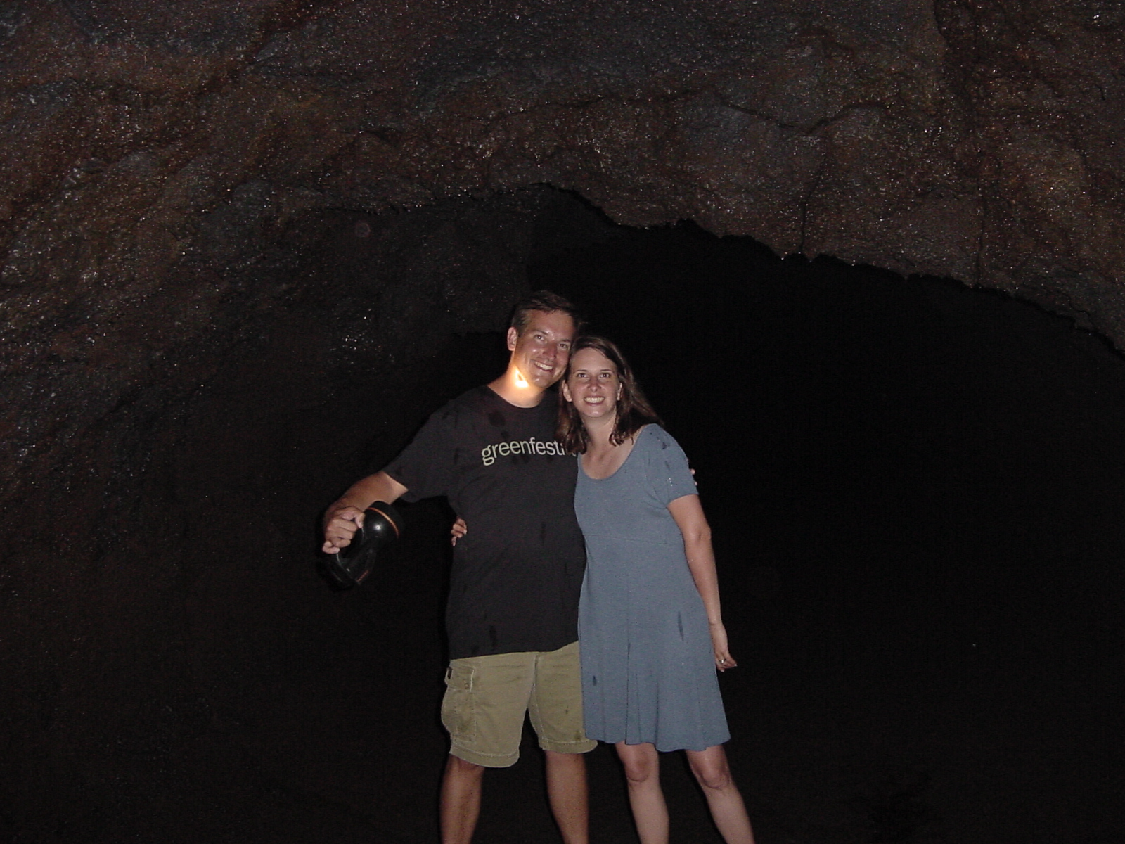
Us in a lava tube. You need a flashlight to go in the more
"undeveloped" part of the tube
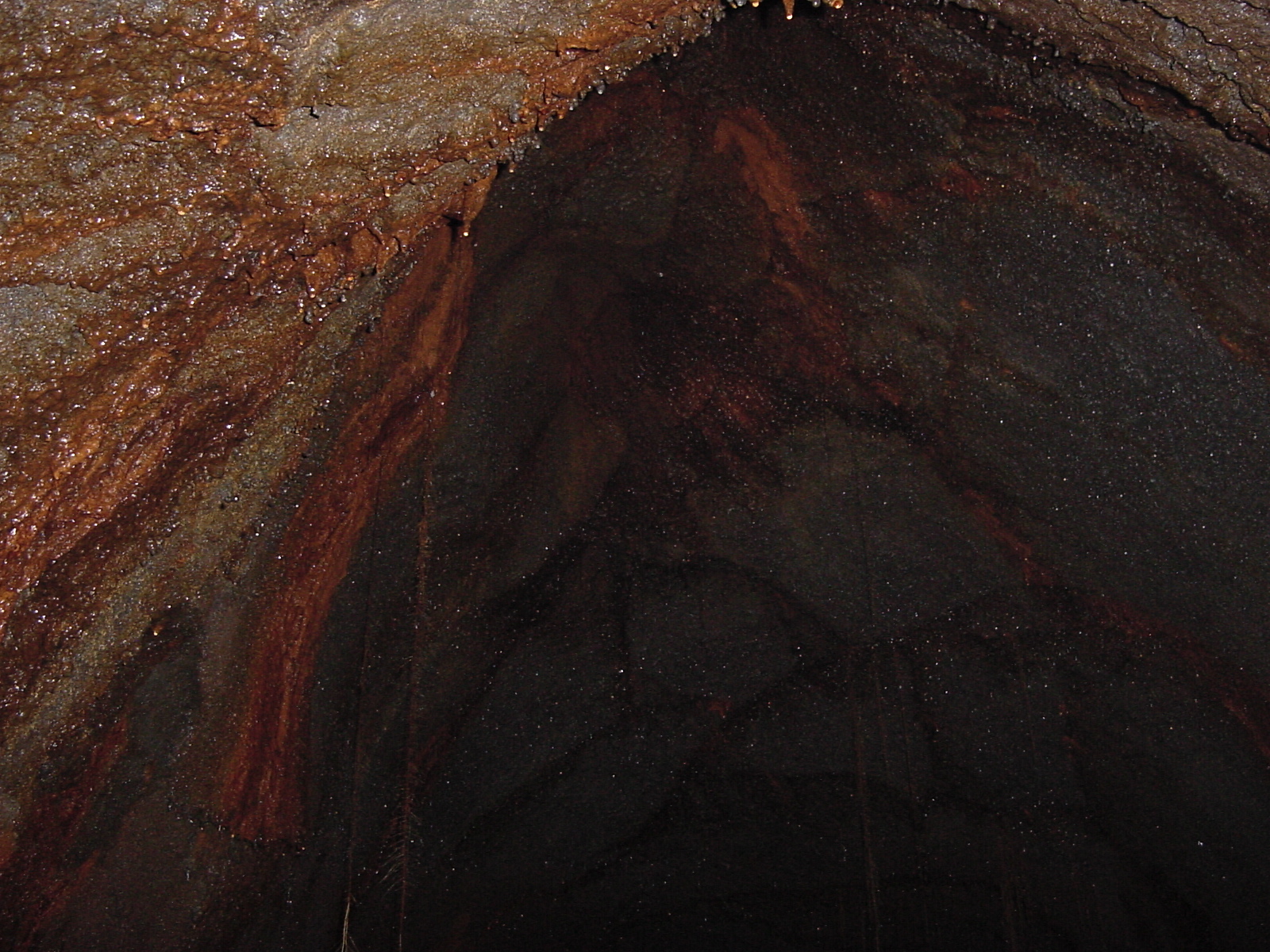
Ceiling of lava tube has plant roots growing through
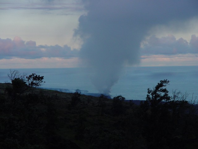
Steam plume from lava hitting ocean
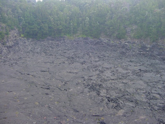
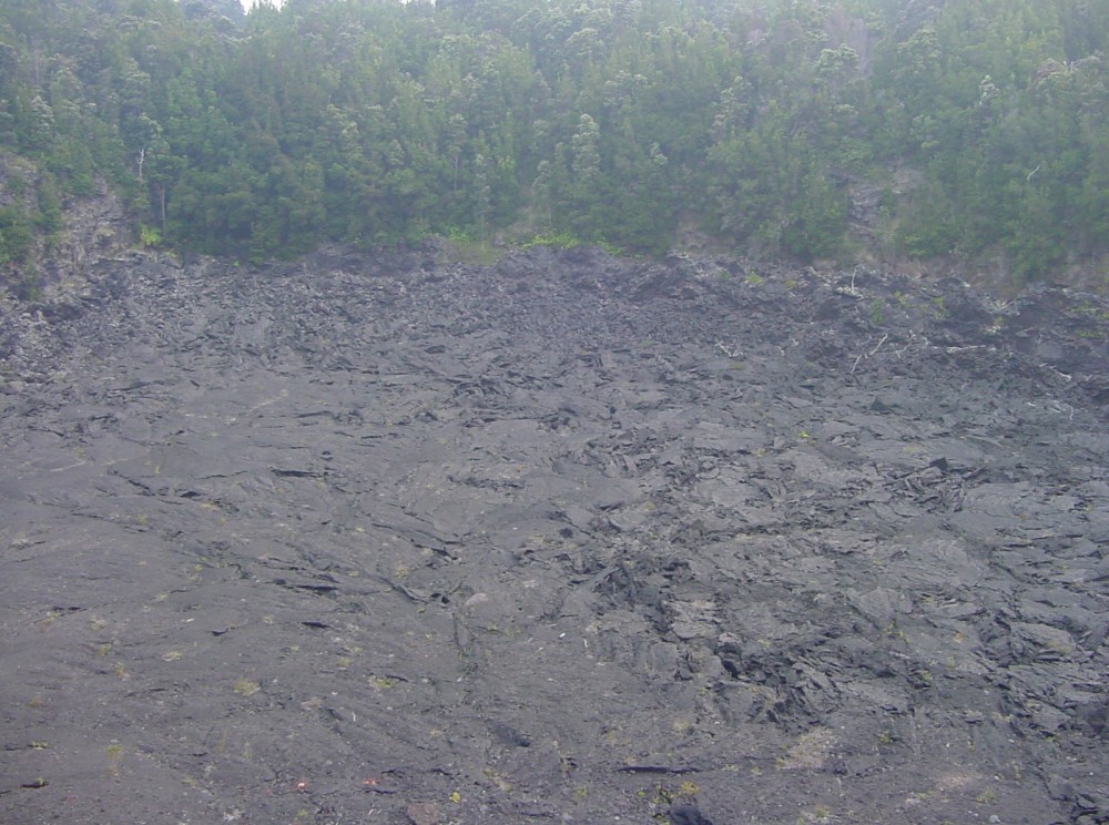
Standing on the end of the road where lava flowed over it in 2003.
Unfortunately, in 2005, the lava is flowing into the ocean over 4
miles away... you can directly see the red glow from the lava flowing down the
hillside and into the ocean, but it's beyond our skills to hike to.
Steam plume from lava hitting ocean at night; the camera didn't
pick up the red glow from flying lava but it was clearly visible
to the eye, along with an indirect glow reflected through the steam.
You can't hike near this, due to the danger of the lava shelf collapsing
into the ocean. You can hike uphill to where the lava is coming down
the hillside in tubes (occasionally breaking out of the tube to flow slowly at
a few miles per hour), but when we went the nearest place to hike to
is a 9 hour round trip (similar to climbing over hot broken glass in
90+-degree temperatures). Sometimes the flowing lava is more accessible,
so I hope to go back when we can get closer.
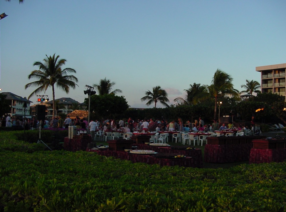
Another lu'au at our hotel (Waikaloa Marriott), which we didn't attend but took some
pictures of
Crowd at the lu'au
Guys digging up the pig
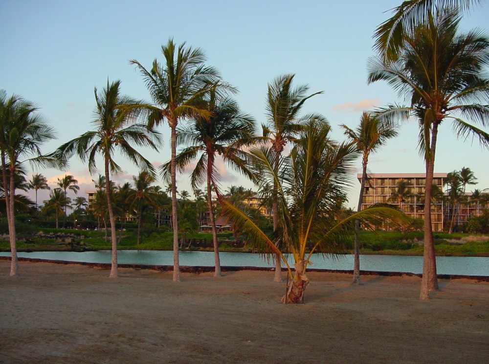
Ocean beach at our hotel
Picture of hotel from the beach
More of the "A" beach in front of the hotel
Mauna Kea from sea level
Our hotel from a distance
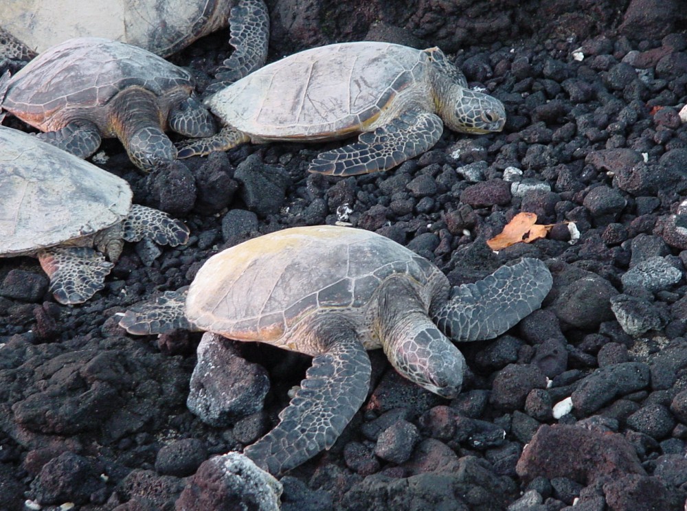
Pile of sea turtles on the beach near our hotel; they come on shore in the
afternoon to soak up sun
Closeup of "hawksbill" sea turtles
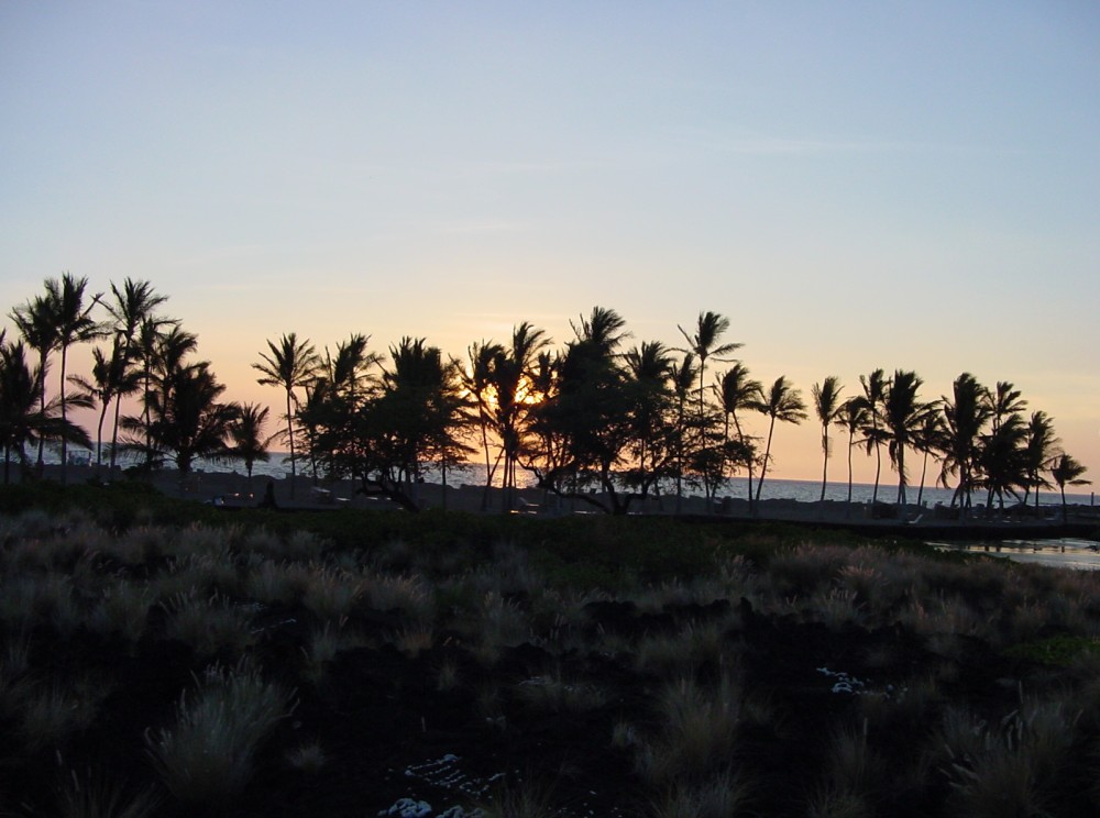
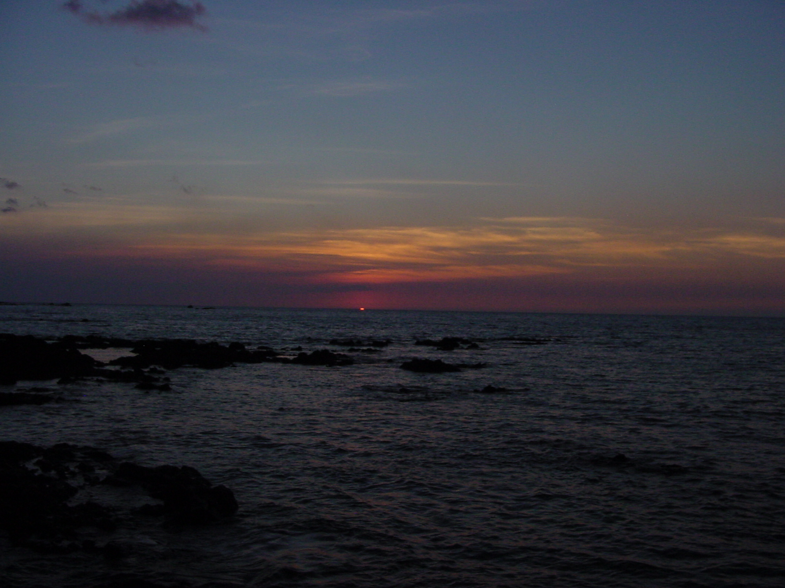
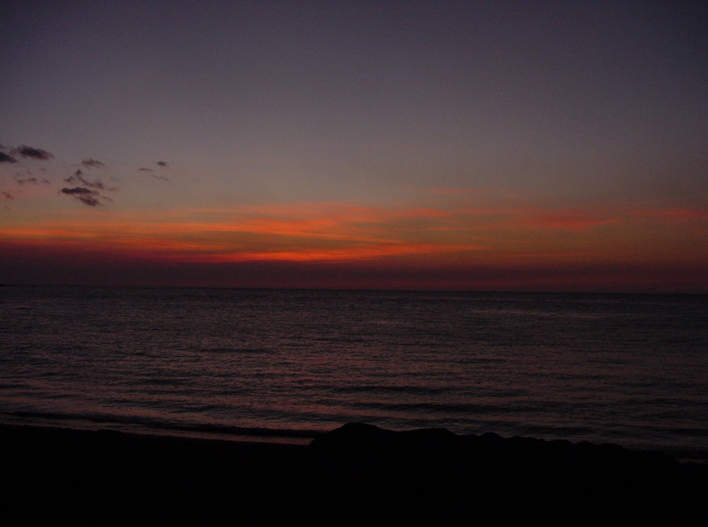
Sunset on the beach by our hotel
Turtles go back in the water after sunset
Sunset colors